Photograph as originally submitted to
this page in the Historical Marker Database
www.HMdb.org.
Click on photo to resize in browser. Scroll down to see metadata.
Photographer: Al Wolf
Taken: August 31, 2008
Caption:
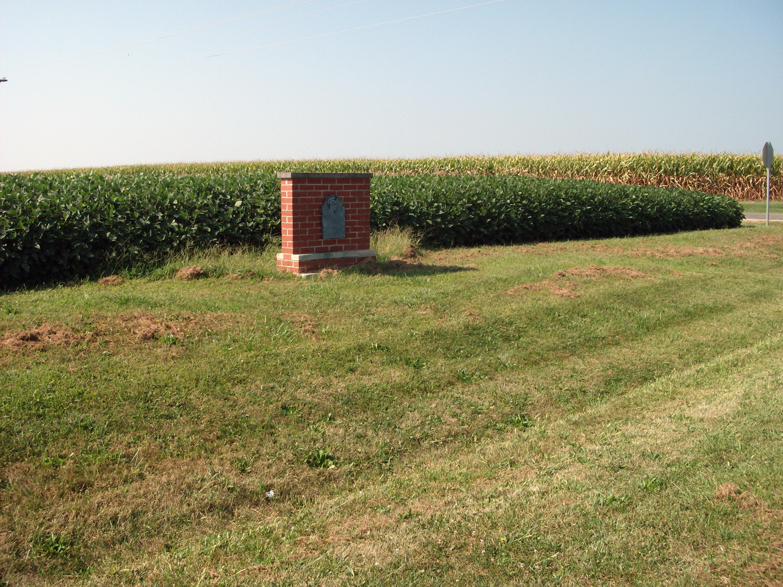
Wide View:: Abraham Lincoln - - Boundry Marker | Additional Description: The Marker sits on the South side of the road. The original post (county plates) were totally destroyed. The main plaque was salvaged and this new type base was built. A ceremony in June 1979 rededicated it into use as Lincoln's County Boundry Marker for Shelby/Coles Counties.
Submitted: September 2, 2008, by Al Wolf of Veedersburg, Indiana.
Database Locator Identification Number: p34007
File Size: 1.779 Megabytes
To see the metadata that may be embedded in this photo, sign in and then return to this page.