Photograph as originally submitted to
this page in the Historical Marker Database
www.HMdb.org.
Click on photo to resize in browser. Scroll down to see metadata.
Photographer: M. L.
Taken: November 1, 2003
Caption:
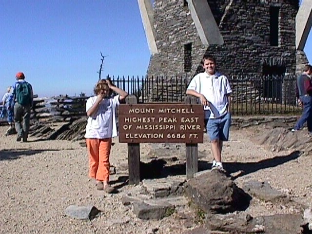
View of the observation tower and elevation marker - 6684 ft. | Additional Description: Mount Mitchell is the highest peak east of the Mississippi River.
Submitted: September 4, 2008, by M. L. 'Mitch' Gambrell of Taylors, South Carolina.
Database Locator Identification Number: p34216
File Size: 0.081 Megabytes
To see the metadata that may be embedded in this photo, sign in and then return to this page.