Photograph as originally submitted to
this page in the Historical Marker Database
www.HMdb.org.
Click on photo to resize in browser. Scroll down to see metadata.
Photographer: Barry Swackhamer
Taken: February 28, 2016
Caption:
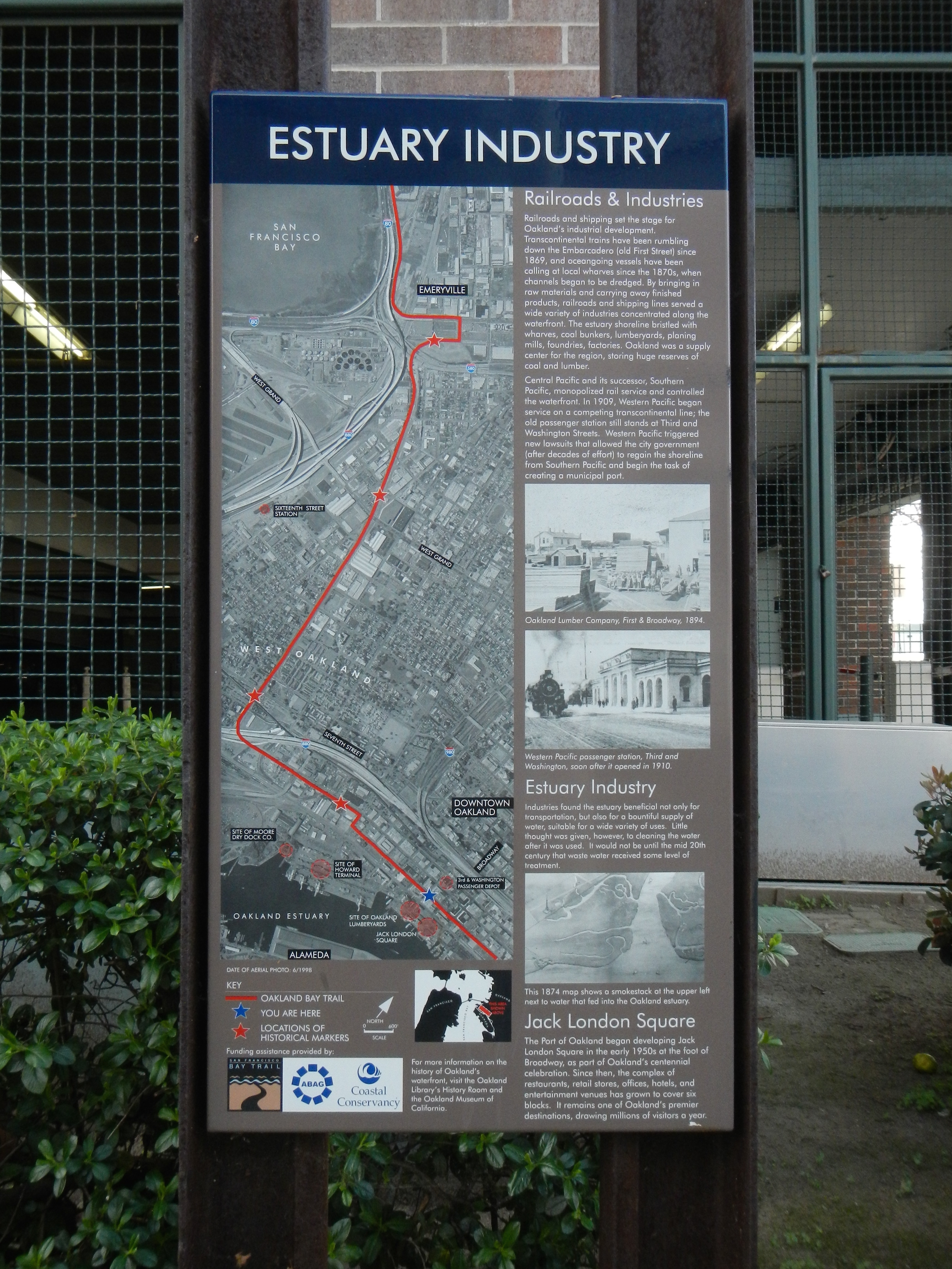
Estuary Industry Marker | Additional Description: Captions: (top left) Map of the original bay shoreline.; (middle left) Aerial photograph showing the Key Route and Oakland Bay Trail.; (bottom left) Map orienting the above aerial photograph in relation to San Francisco Bay.; (upper right) Oakland Lumber Company, First & Broadway, 1894.; (middle right) Western Pacific passenger station, Third and Washington, soon after it opened in 1910.; (bottom right) This 1874 map shows a smokestack at the upper left next to water that fed the Oakland estuary.
Submitted: February 29, 2016, by Barry Swackhamer of Brentwood, California.
Database Locator Identification Number: p345931
File Size: 3.485 Megabytes
To see the metadata that may be embedded in this photo, sign in and then return to this page.