Photograph as originally submitted to
this page in the Historical Marker Database
www.HMdb.org.
Click on photo to resize in browser. Scroll down to see metadata.
Photographer: Dale K. Benington
Taken: November 5, 2015
Caption:
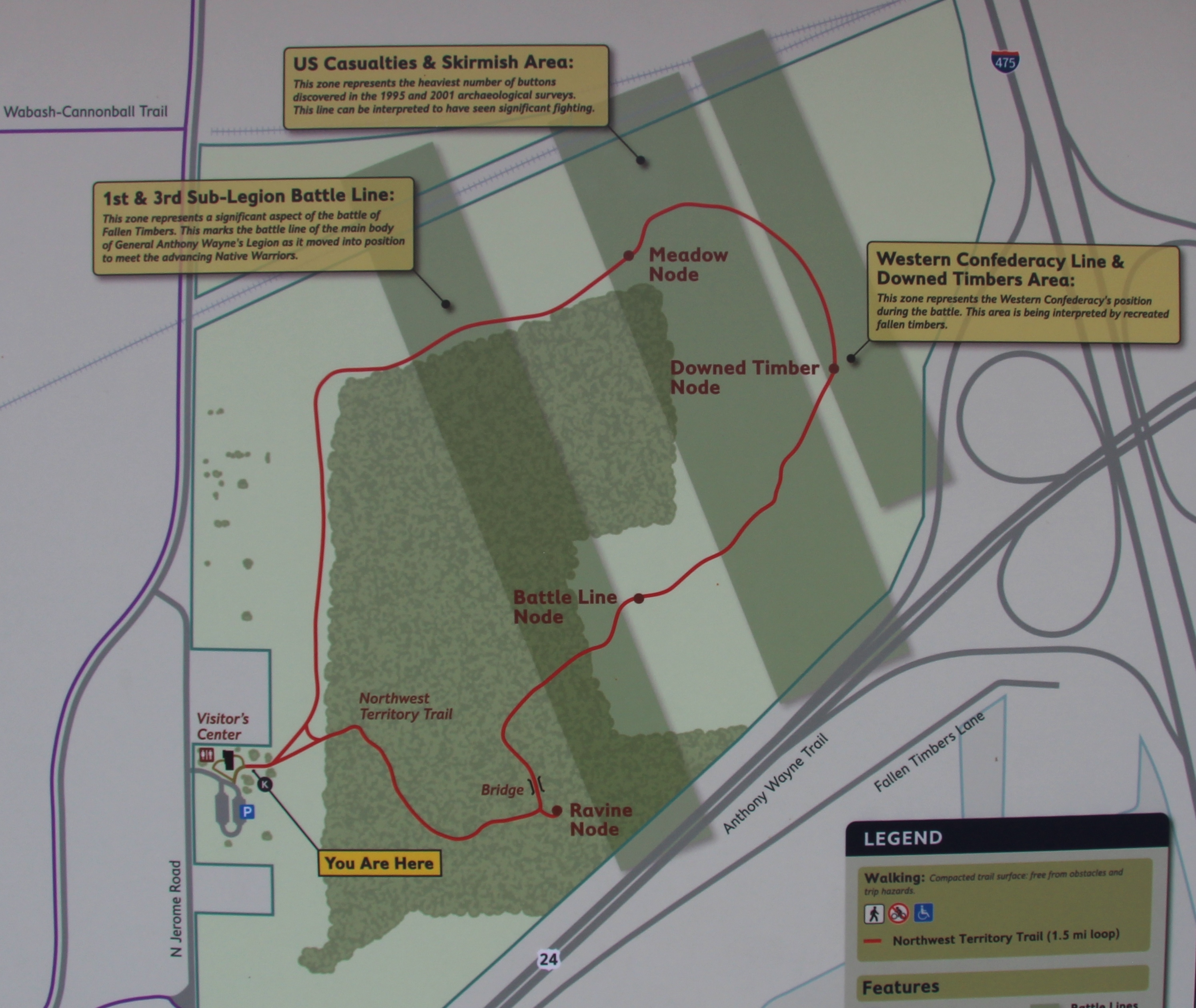
Alliances Marker | Additional Description: View of a map of the Fallen Timbers Battlefield park, showing the park's walking trail in red, and showing the "Meadow Node" (where this marker is located), near the top center of the map.
Submitted: March 21, 2016, by Dale K. Benington of Toledo, Ohio.
Database Locator Identification Number: p347290
File Size: 1.625 Megabytes
To see the metadata that may be embedded in this photo, sign in and then return to this page.