Photograph as originally submitted to
this page in the Historical Marker Database
www.HMdb.org.
Click on photo to resize in browser. Scroll down to see metadata.
Photographer: Dale K. Benington
Taken: April 27, 2016
Caption:
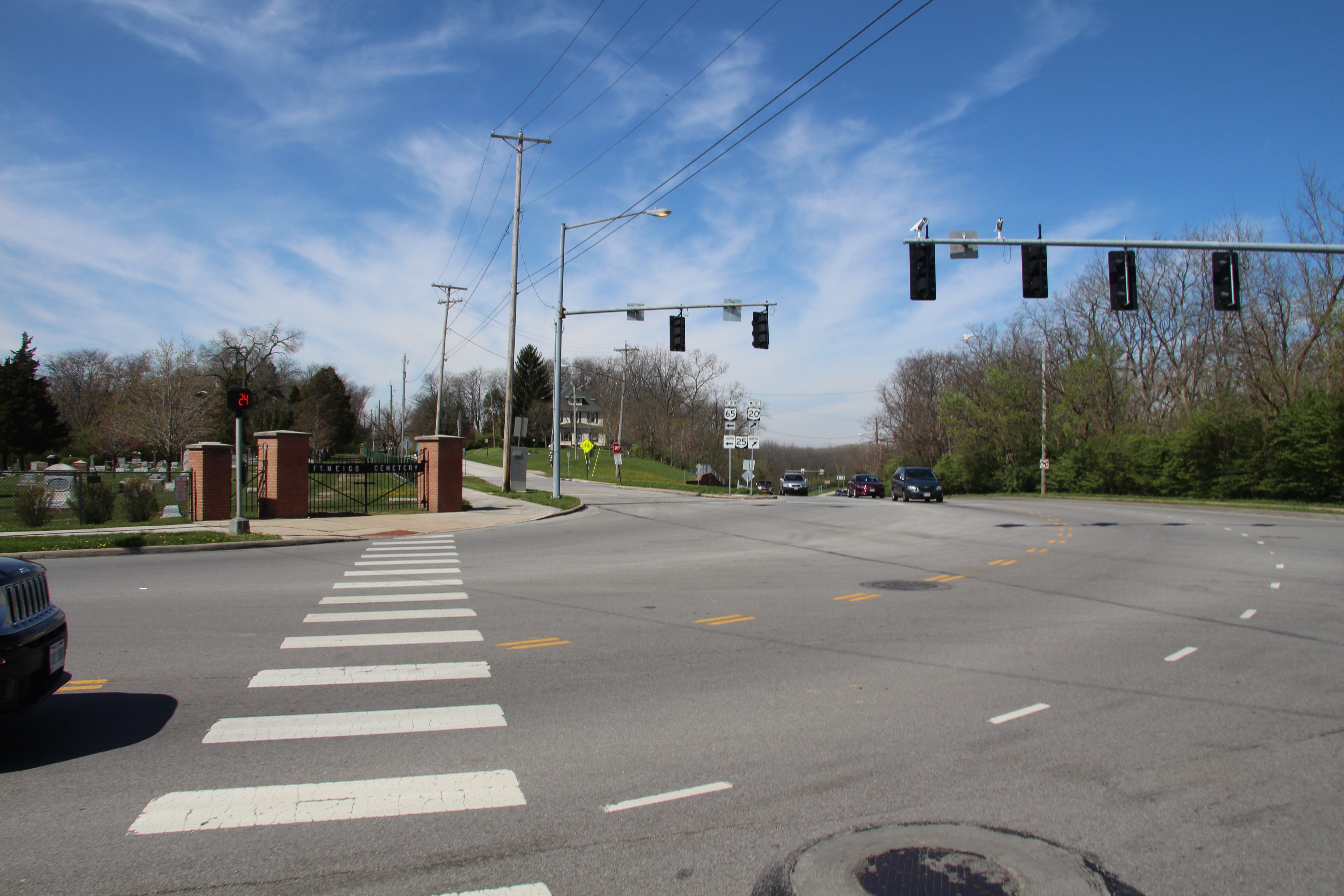
to Fort Meigs / to Fort Meigs Marker | Additional Description: View of the street corner (by the gate to the cemetery) where the missing marker was most probably located, looking west, in the direction of Fort Meigs, along West Front Street (old State Route 65), which was the street that the directional marker indicated to turn onto, in order to get to Fort Meigs, ½ mile away.
Submitted: April 2, 2016, by Dale K. Benington of Toledo, Ohio.
Database Locator Identification Number: p348324
File Size: 7.973 Megabytes
To see the metadata that may be embedded in this photo, sign in and then return to this page.