Photograph as originally submitted to
this page in the Historical Marker Database
www.HMdb.org.
Click on photo to resize in browser. Scroll down to see metadata.
Photographer: Dale K. Benington
Taken: April 27, 2016
Caption:
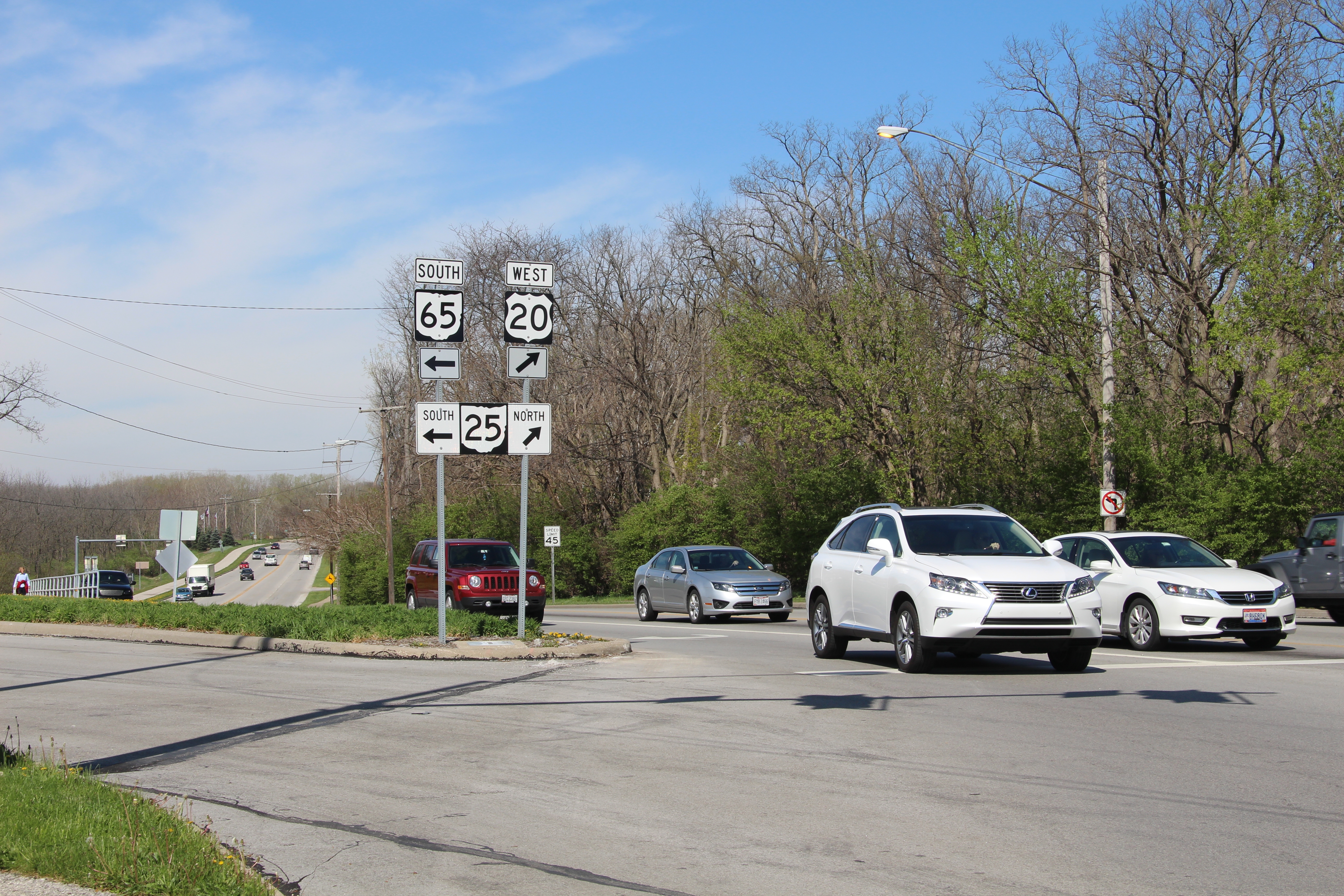
to Fort Meigs / to Fort Meigs Marker | Additional Description: View, from the probable site of the marker, looking north along State Route 25 (and west bound US 20), which is the roadway that the northbound traveler would use along the 1930 era Ohio Revolutionary Memorial Trail.
Submitted: April 2, 2016, by Dale K. Benington of Toledo, Ohio.
Database Locator Identification Number: p348325
File Size: 8.317 Megabytes
To see the metadata that may be embedded in this photo, sign in and then return to this page.