Photograph as originally submitted to
this page in the Historical Marker Database
www.HMdb.org.
Click on photo to resize in browser. Scroll down to see metadata.
Photographer: Andrew Ruppenstein
Taken: May 25, 2008
Caption:
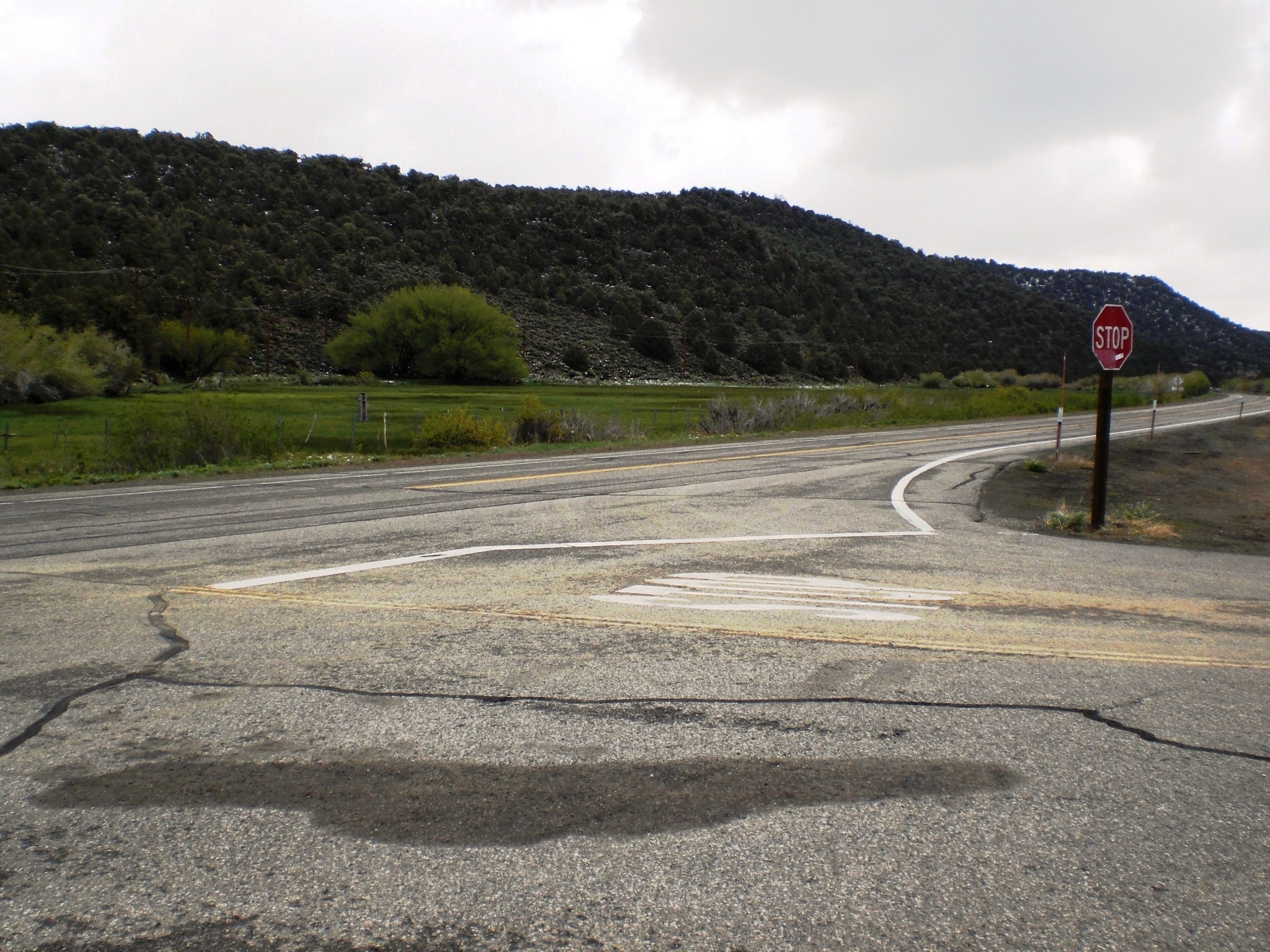
Poor Farm - Former Location | Additional Description: The meadow location mentioned on the marker. A scan with binoculars revealed what may have been remains of a rock wall or foundation near the large tree at the back of the meadow. Or it may have simply been a rock formation.
Submitted: September 11, 2008, by Andrew Ruppenstein of Lamorinda, California.
Database Locator Identification Number: p35112
File Size: 0.971 Megabytes
To see the metadata that may be embedded in this photo, sign in and then return to this page.