Photograph as originally submitted to
this page in the Historical Marker Database
www.HMdb.org.
Click on photo to resize in browser. Scroll down to see metadata.
Photographer: Craig Swain
Taken: August 24, 2008
Caption:
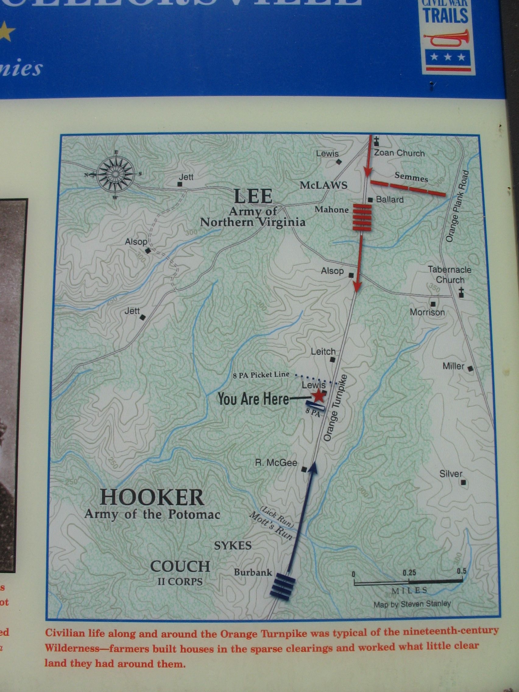
First Day at Chancellorsville Map | Additional Description: This map clearly indicates the locations of various family farms around the areas contested during the battle. Note the north seeking arrow points to the left.
Submitted: September 13, 2008, by Craig Swain of Leesburg, Virginia.
Database Locator Identification Number: p35381
File Size: 1.062 Megabytes
To see the metadata that may be embedded in this photo, sign in and then return to this page.