Photograph as originally submitted to
this page in the Historical Marker Database
www.HMdb.org.
Click on photo to resize in browser. Scroll down to see metadata.
Photographer: F. Robby
Taken: July 31, 2016
Caption:
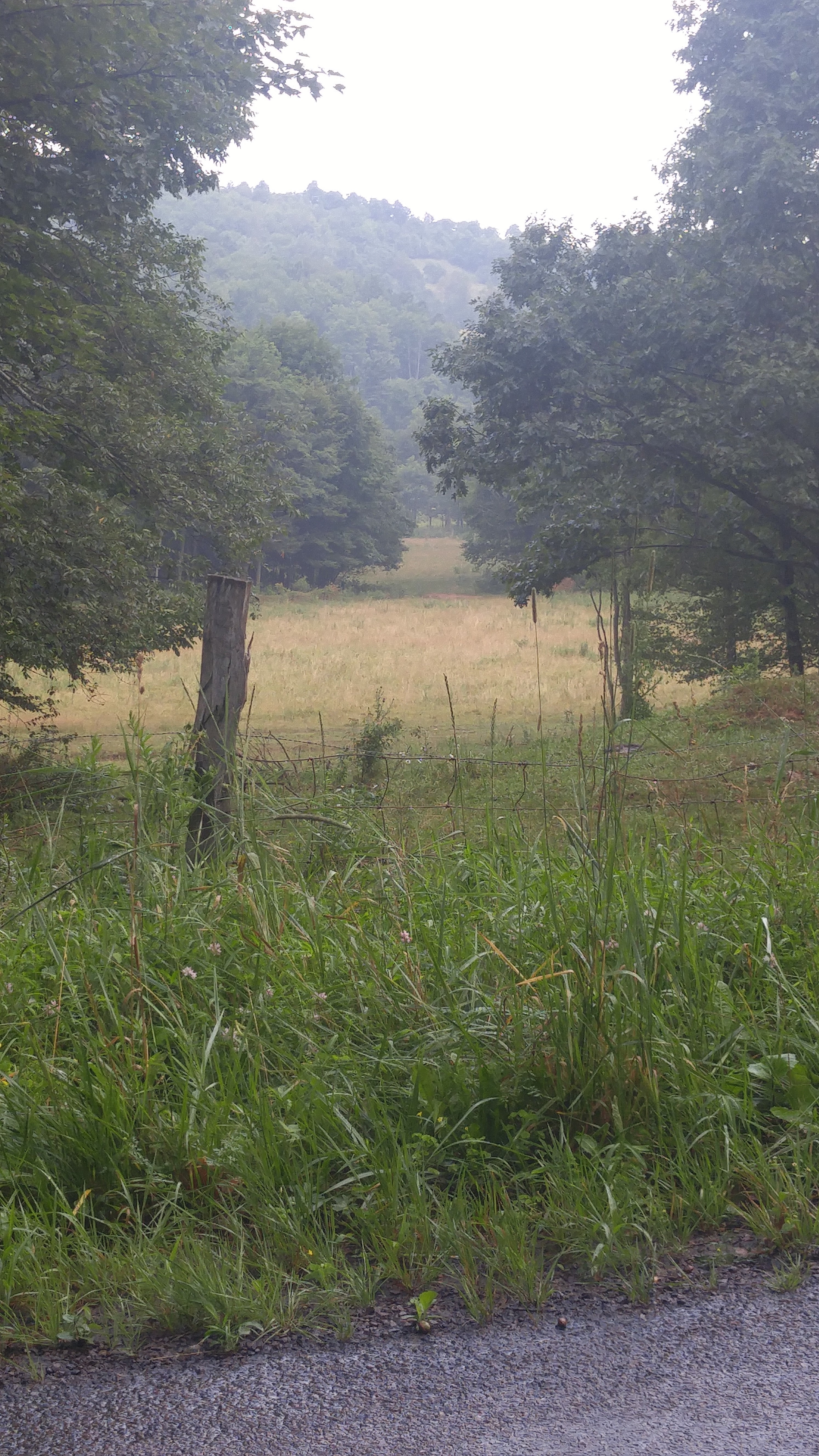
Crash Site | Additional Description: The crash site is located in the clearing area in this photo, about 1000 feet from where the photo was taken on Pine Swamp Road (about .3 miles west of its intersection with Westernport Road).
Submitted: August 3, 2016, by F. Robby of Baltimore, Maryland.
Database Locator Identification Number: p358323
File Size: 4.345 Megabytes
To see the metadata that may be embedded in this photo, sign in and then return to this page.