Photograph as originally submitted to
this page in the Historical Marker Database
www.HMdb.org.
Click on photo to resize in browser. Scroll down to see metadata.
Photographer: Courtesy of Google Maps
Taken: August 11, 2016
Caption:
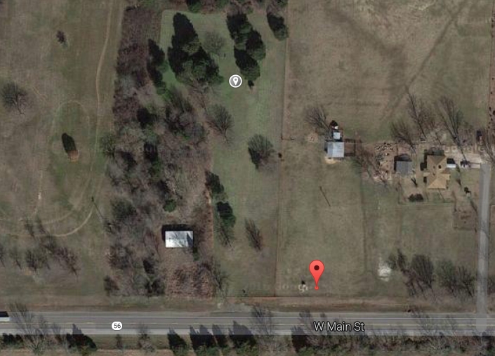
Google Map view of relation of marker (red pin) to cemetery location (grey pin). | Submitted: August 11, 2016, by Mark Hilton of Montgomery, Alabama.
Database Locator Identification Number: p359254
File Size: 0.553 Megabytes
To see the metadata that may be embedded in this photo, sign in and then return to this page.