Photograph as originally submitted to
this page in the Historical Marker Database
www.HMdb.org.
Click on photo to resize in browser. Scroll down to see metadata.
Photographer: Joel Seewald
Taken: September 2, 2016
Caption:
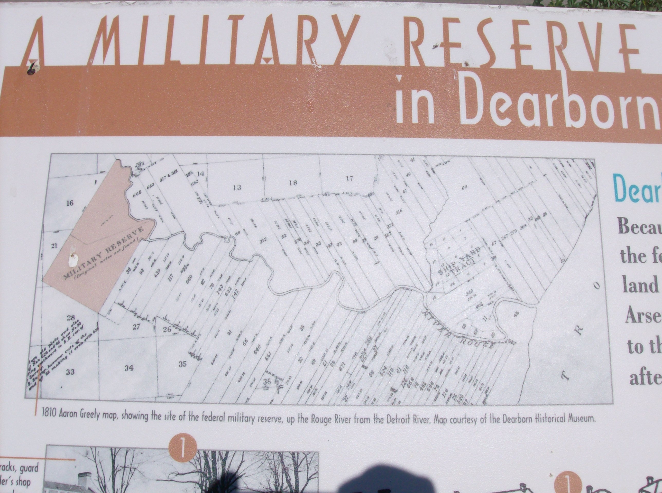
Upper left image | Additional Description: 1810 Aaron Greely map, showing the site of the federal military reserve, up the Rouge River from the Detroit River. Map courtesy of the Dearborn Historical Museum.
Submitted: September 25, 2016, by Joel Seewald of Madison Heights, Michigan.
Database Locator Identification Number: p363958
File Size: 0.793 Megabytes
To see the metadata that may be embedded in this photo, sign in and then return to this page.