Photograph as originally submitted to
this page in the Historical Marker Database
www.HMdb.org.
Click on photo to resize in browser. Scroll down to see metadata.
Photographer: Michael C. Wilcox
Taken: November 19, 2016
Caption:
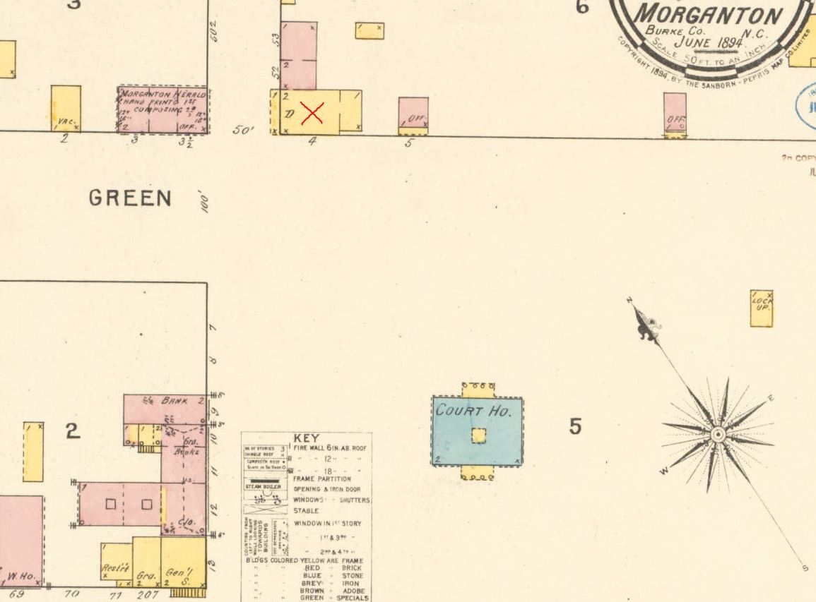
1894 Sanborn Map | Additional Description: Oldest available Sanborn map for this area, from 20 years after Caldwell's death. Shows 2-story frame structure with shingle roof in location where the Caldwell home once stood (marked with red 'X'), but unable verify this is the same structure.
Submitted: November 19, 2016, by Michael C. Wilcox of Winston-Salem, North Carolina.
Database Locator Identification Number: p369810
File Size: 0.092 Megabytes
To see the metadata that may be embedded in this photo, sign in and then return to this page.