Photograph as originally submitted to
this page in the Historical Marker Database
www.HMdb.org.
Click on photo to resize in browser. Scroll down to see metadata.
Photographer: Douglass Halvorsen
Caption:
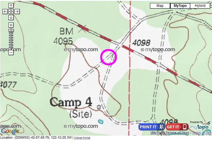
Topography map | Additional Description: This topography map shows the former Camp 4 site. The pink circle is where the historical marker is located. Nothing of the former logging camp remains except some concrete footings and some wood paneling here and there. There are also a couple of abandoned water/fuel tanks that probably belonged to the mill at one time.
Submitted: December 8, 2016, by Douglass Halvorsen of Klamath Falls, Oregon.
Database Locator Identification Number: p371851
File Size: 0.239 Megabytes
To see the metadata that may be embedded in this photo, sign in and then return to this page.