Photograph as originally submitted to
this page in the Historical Marker Database
www.HMdb.org.
Click on photo to resize in browser. Scroll down to see metadata.
Photographer: Denise Boose
Taken: December 10, 2016
Caption:
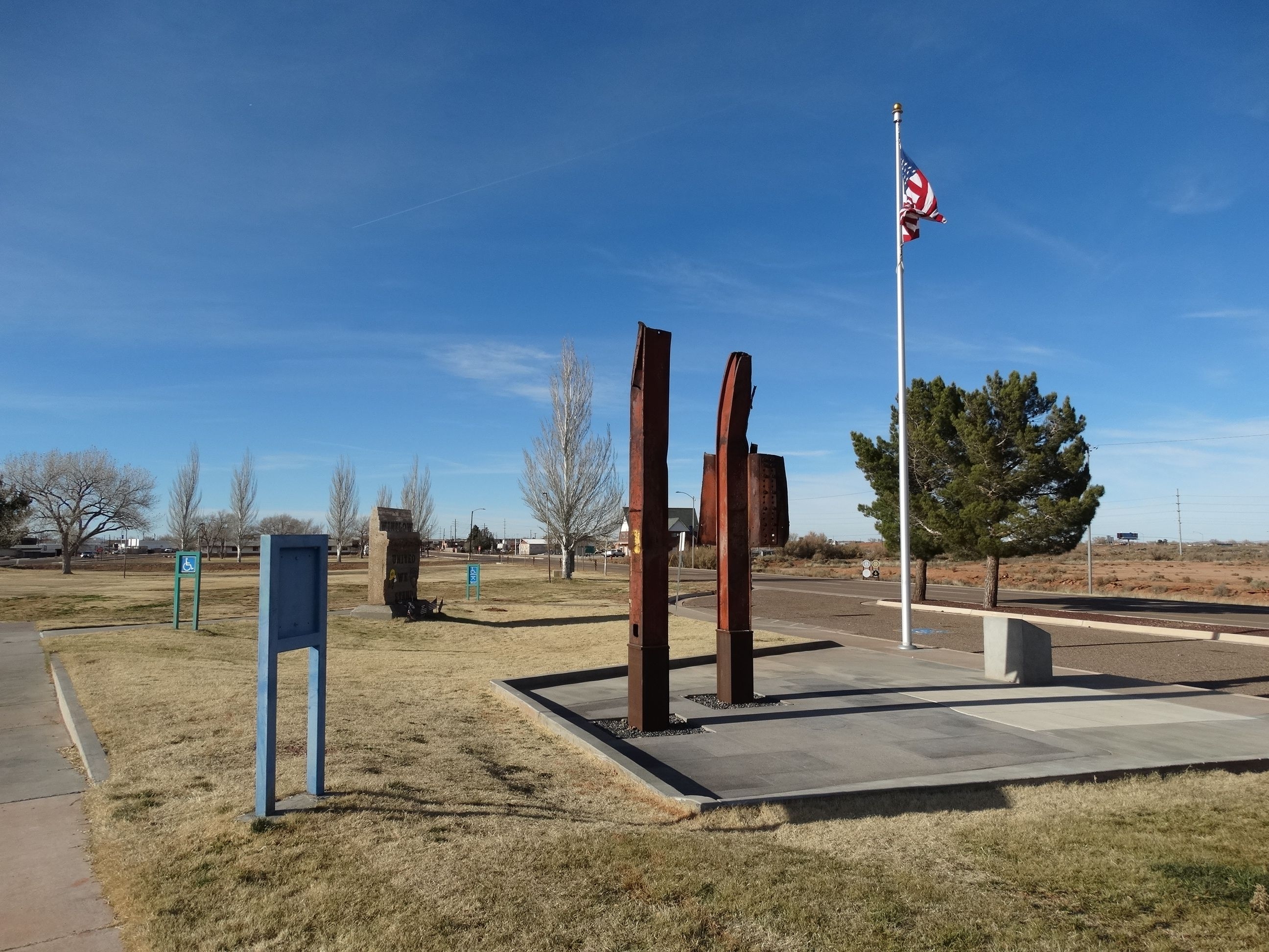
Remembrance Garden Marker | Additional Description: Located between E 2nd and E 3rd Street (Old Hwy 66). Latitude 35.015332 and Longitude -110.679599
Submitted: December 12, 2016, by Denise Boose of Tehachapi, California.
Database Locator Identification Number: p372143
File Size: 0.818 Megabytes
To see the metadata that may be embedded in this photo, sign in and then return to this page.