Photograph as originally submitted to
this page in the Historical Marker Database
www.HMdb.org.
Click on photo to resize in browser. Scroll down to see metadata.
Photographer: Shane Oliver
Taken: February 11, 2017
Caption:
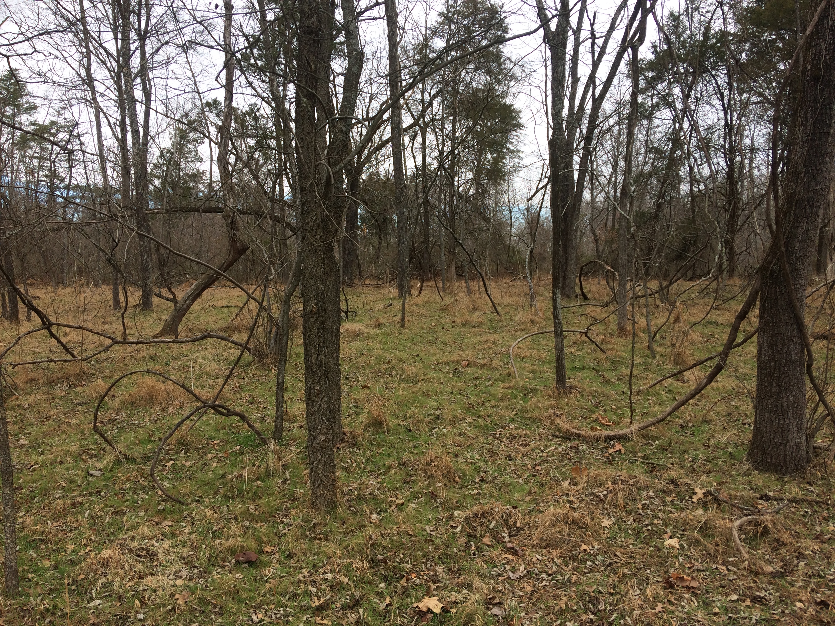
Possible site of the Matthews Farm? | Additional Description: The foundation is the only thing that remains of the Matthews Farm, and according to what I was told by a ranger at the Henry Hill Visitor Center, the foundation is located within the forested area of the Matthews Hill loop trail. I followed the trail and noticed a patch of green (keep in mind I took this photo in February) with a smaller number of trees than usual. I am not 100% on whether or not this is the farmhouse site, but it is very likely.
Chances are that either this is the site of the farmhouse, or the farmhouse foundation is lost in the woodlot - inaccessible from the loop trail.
Submitted: February 19, 2017, by Shane Oliver of Richmond, Virginia.
Database Locator Identification Number: p375405
File Size: 4.739 Megabytes
To see the metadata that may be embedded in this photo, sign in and then return to this page.