Photograph as originally submitted to
this page in the Historical Marker Database
www.HMdb.org.
Click on photo to resize in browser. Scroll down to see metadata.
Photographer: Mark Hilton
Taken: April 9, 2017
Caption:
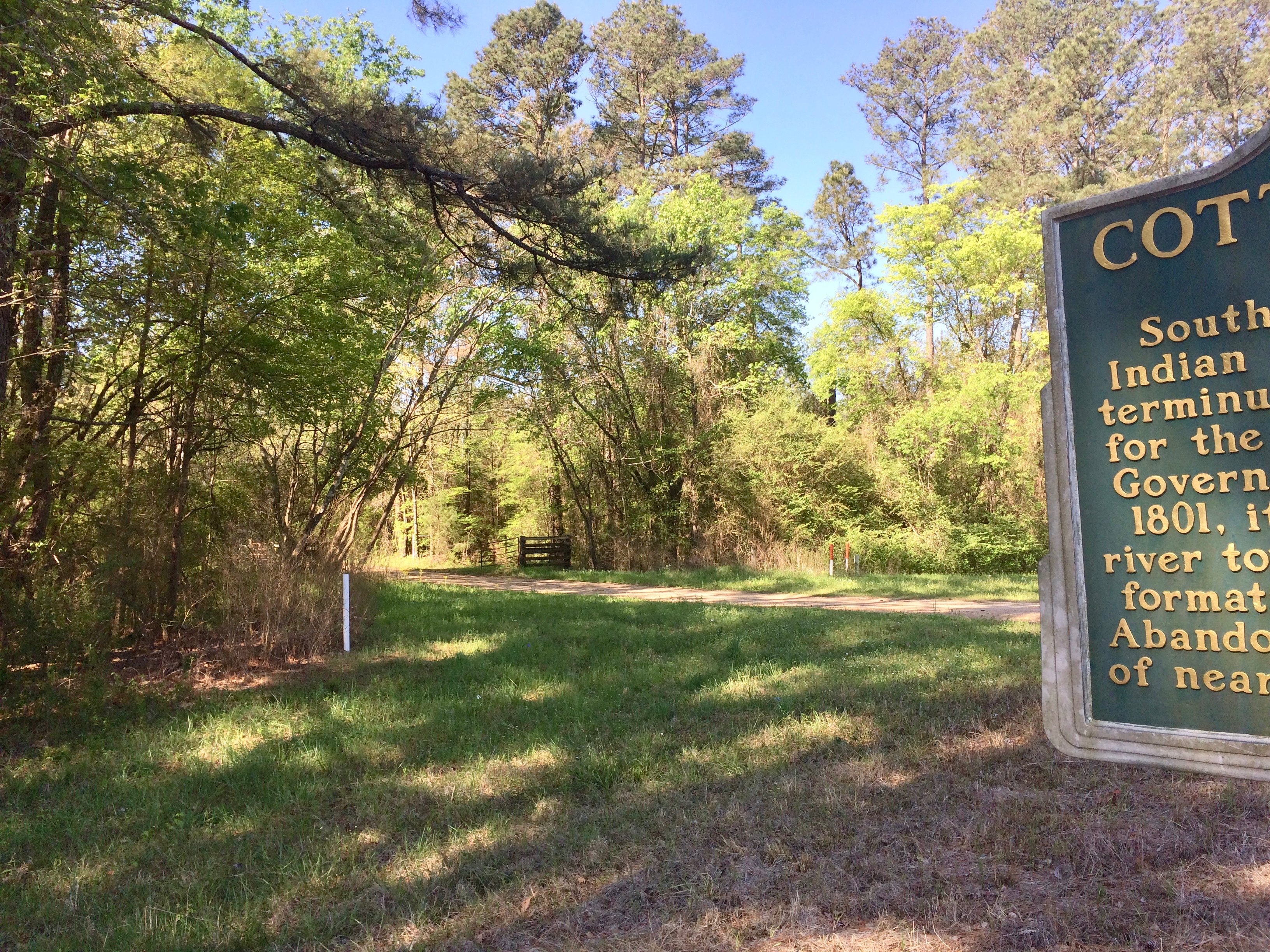
The view south on Cotton Gin Road. | Additional Description: Leads to former Cotton Gin Port area which was the northernmost navigable spot on the Tombigbee River.
Submitted: April 10, 2017, by Mark Hilton of Montgomery, Alabama.
Database Locator Identification Number: p379665
File Size: 10.852 Megabytes
To see the metadata that may be embedded in this photo, sign in and then return to this page.