Photograph as originally submitted to
this page in the Historical Marker Database
www.HMdb.org.
Click on photo to resize in browser. Scroll down to see metadata.
Photographer: Pete Payette
Taken: September 28, 2014
Caption:
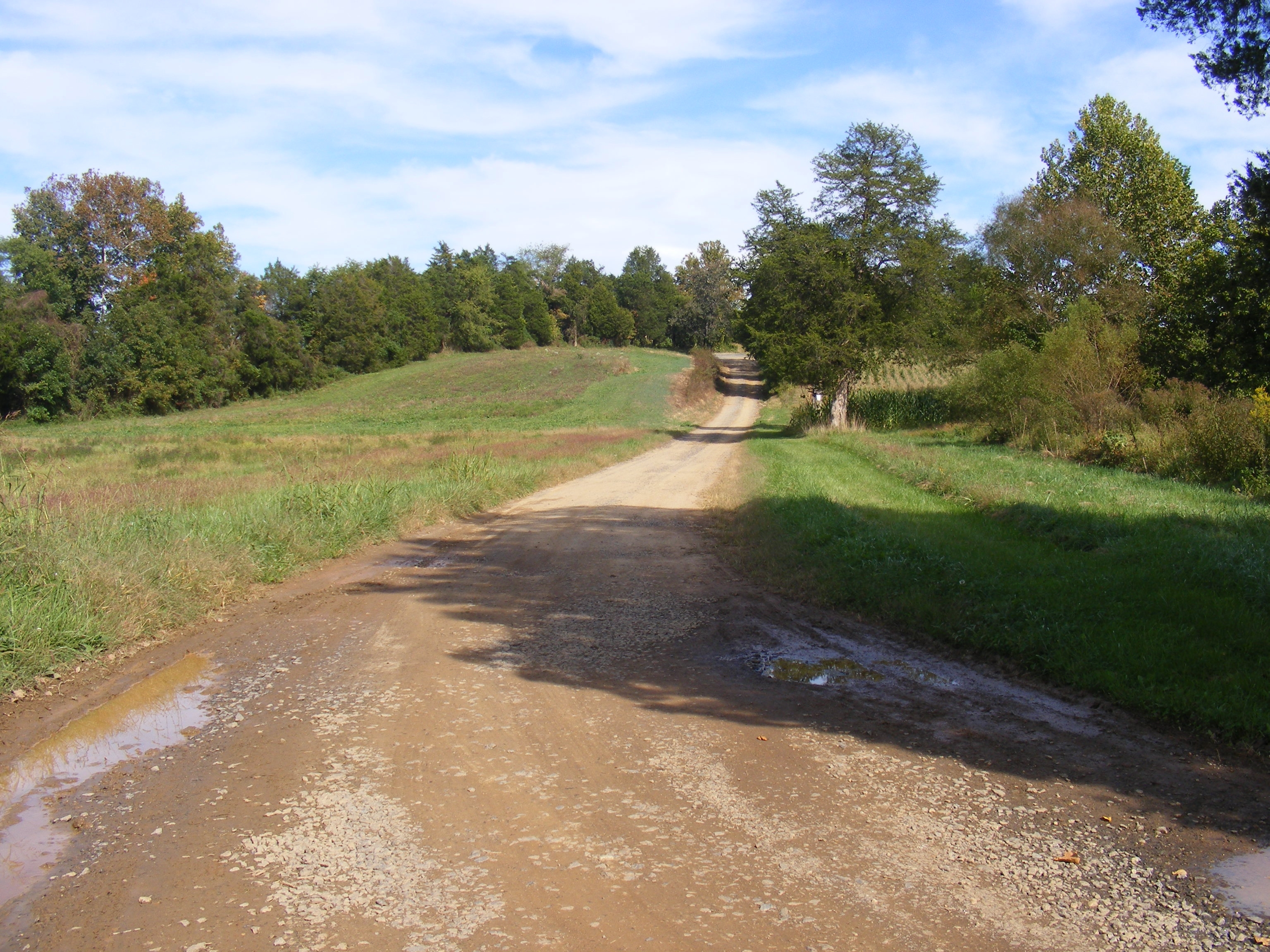
The old trace of the Orange Turnpike between Wilderness Run and the Wilderness Tavern. | Additional Description: View is looking east. The 1781 campsite area is in the farm fields off to the right of the picture. The modern-day state highway (VA Rt. 3) is behind the tree line on the left.
Submitted: May 2, 2017, by Pete Payette of Orange, Virginia.
Database Locator Identification Number: p381583
File Size: 1.495 Megabytes
To see the metadata that may be embedded in this photo, sign in and then return to this page.