Photograph as originally submitted to
this page in the Historical Marker Database
www.HMdb.org.
Click on photo to resize in browser. Scroll down to see metadata.
Photographer: Howard C. Ohlhous
Taken: July 7, 2017
Caption:
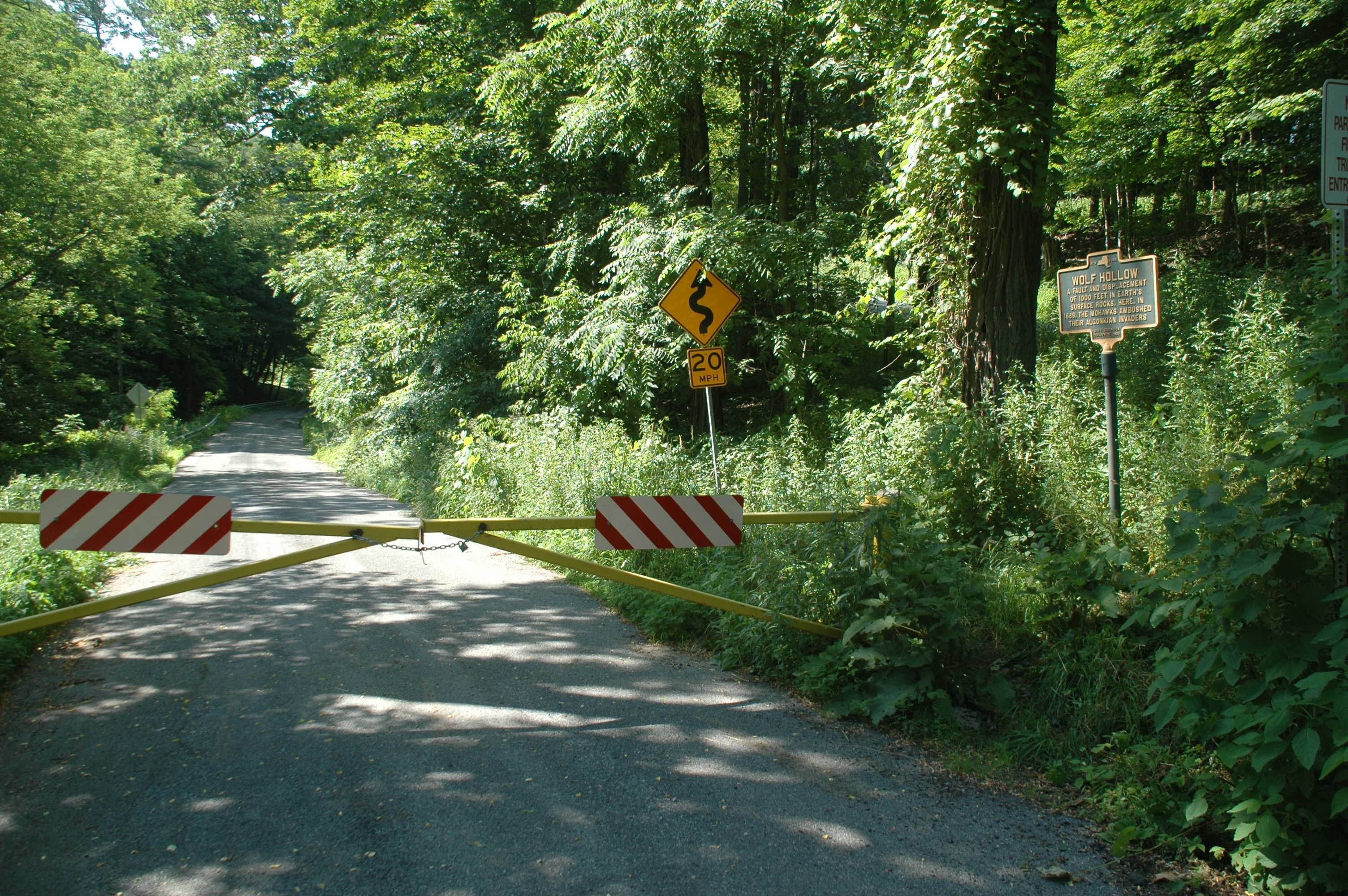
Wolf Hollow Road & Marker | Additional Description: Wolf Hollow Road, a roughly 1.1-mile roadway winding through a geological fault in Glenville, has been closed since Tropical Storm Irene, in late August of 2011, but open to bike and foot traffic. The roadway winds through a dramatic ravine created by erosion at the site of Hoffman’s Fault.
Submitted: July 7, 2017, by Howard C. Ohlhous of Duanesburg, New York.
Database Locator Identification Number: p388282
File Size: 0.870 Megabytes
To see the metadata that may be embedded in this photo, sign in and then return to this page.