Photograph as originally submitted to
this page in the Historical Marker Database
www.HMdb.org.
Click on photo to resize in browser. Scroll down to see metadata.
Photographer: Allen C. Browne
Taken: July 9, 2017
Caption:
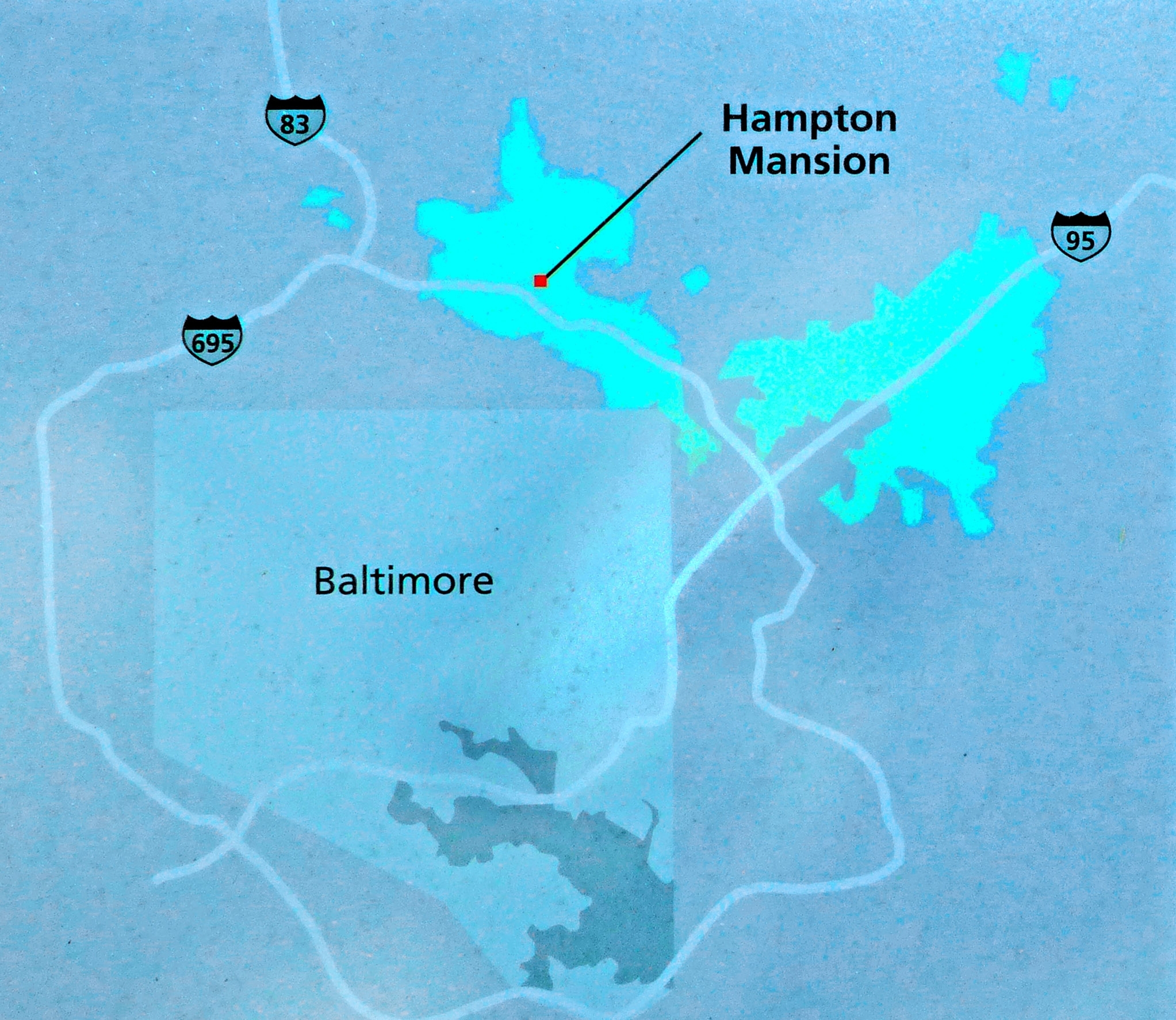
Ridgely Holdings, c. 1829 | Additional Description: This map represents the Ridgelys’ vast holdings in circa 1829. Hampton grew from 1,500 acres, purchased by Col. Charles Ridgely in 1745, to 25,000 acres spread across the region by 1829. It was originally and industrial plantation that served Ridgely’s ironworks but evolved into an agricultural estate by the mid-19th century.
Close-up of map on markerSubmitted: July 9, 2017, by Allen C. Browne of Silver Spring, Maryland.
Database Locator Identification Number: p388627
File Size: 0.820 Megabytes
To see the metadata that may be embedded in this photo, sign in and then return to this page.