Photograph as originally submitted to
this page in the Historical Marker Database
www.HMdb.org.
Click on photo to resize in browser. Scroll down to see metadata.
Photographer: William Fischer, Jr.
Taken: July 24, 2017
Caption:
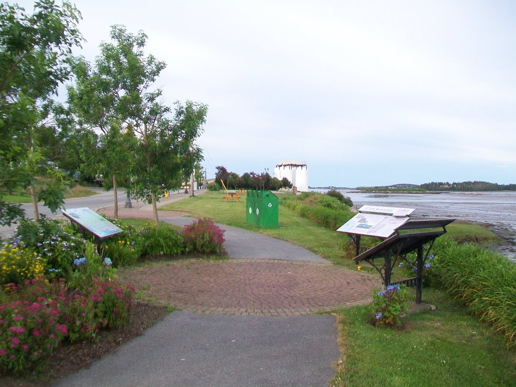
Yarmouth Community Map with The Fishery and Rum Running Markers | Submitted: July 30, 2017, by William Fischer, Jr. of Scranton, Pennsylvania.
Database Locator Identification Number: p392081
File Size: 0.184 Megabytes
To see the metadata that may be embedded in this photo, sign in and then return to this page.