Photograph as originally submitted to
this page in the Historical Marker Database
www.HMdb.org.
Click on photo to resize in browser. Scroll down to see metadata.
Photographer: Library of Congress
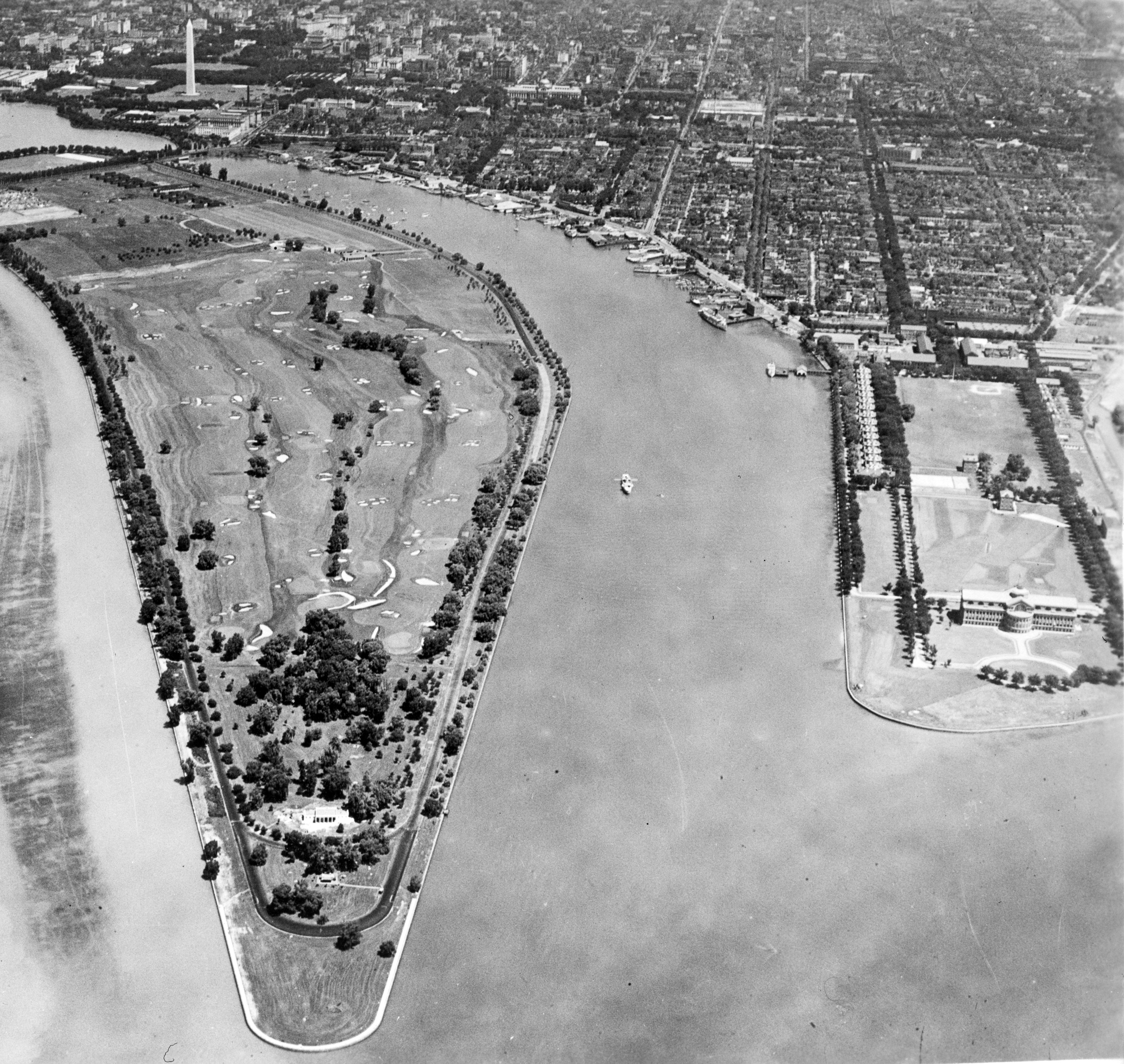
Caption:
The Washington Channel | Additional Description: This C. 1935 aerial photo shows the Washington Channel running between East Potomac Park (Haines Point) on the left and Fort McNair (Greenleaf Point) on the right. The north end of the Channel is at the Tidal Basin and the South end at the mouth of the Anacostia River.
Submitted: November 7, 2017, by Allen C. Browne of Silver Spring, Maryland.
Database Locator Identification Number: p402967
File Size: 2.304 Megabytes
To see the metadata that may be embedded in this photo, sign in and then return to this page.