Photograph as originally submitted to
this page in the Historical Marker Database
www.HMdb.org.
Click on photo to resize in browser. Scroll down to see metadata.
Photographer: Craig Swain
Taken: June 22, 2007
Caption:
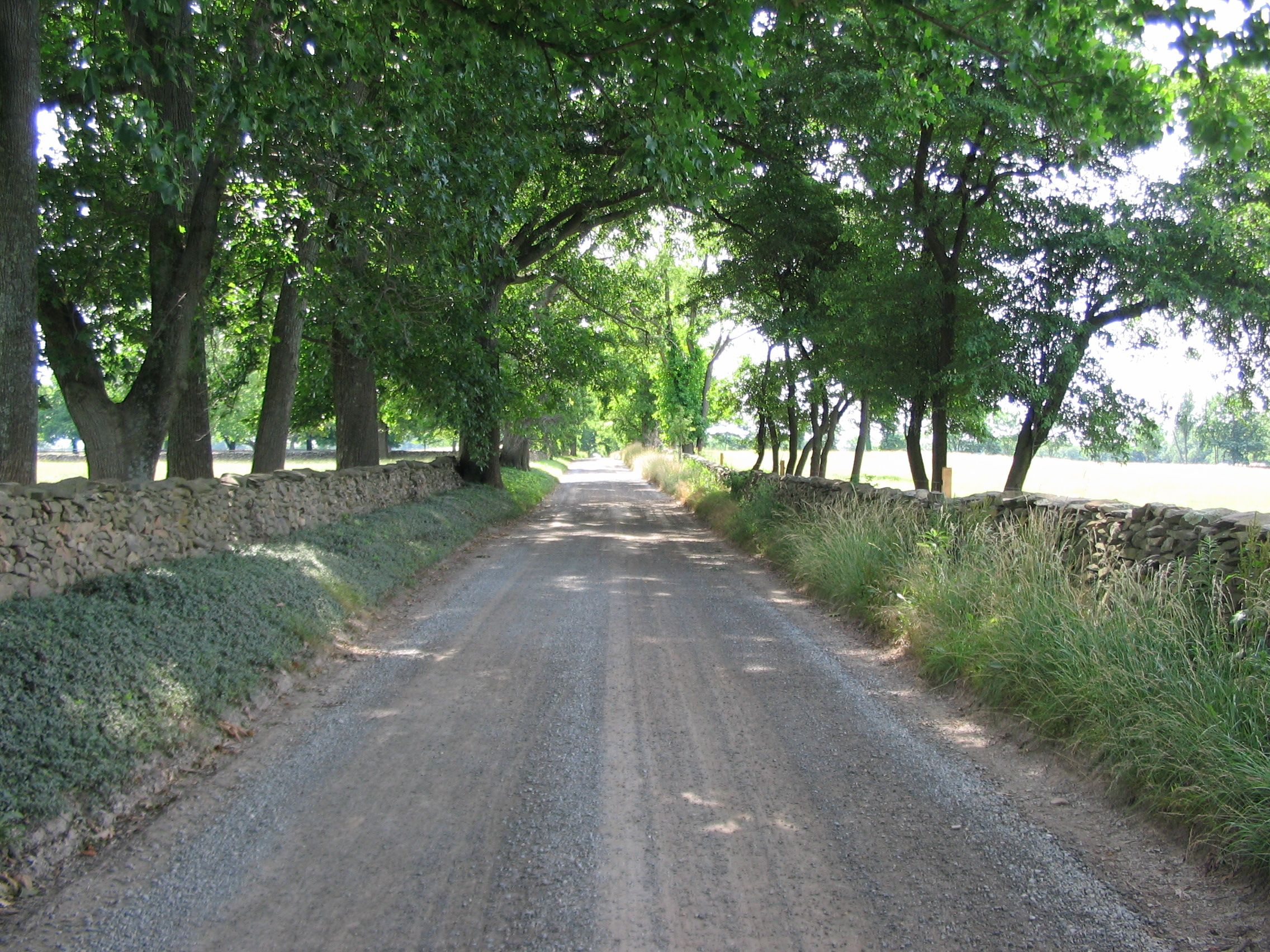
Country Lane in Battle Area | Additional Description: Typical of the roads around the battle area, the stone walls served to funnel movement and offer ready built defensive works. This particular stretch of the Millville Road saw much use by the Confederates while positioning to meet Federal advances.
Submitted: June 30, 2007, by Craig Swain of Leesburg, Virginia.
Database Locator Identification Number: p4124
File Size: 1.669 Megabytes
To see the metadata that may be embedded in this photo, sign in and then return to this page.