Photograph as originally submitted to
this page in the Historical Marker Database
www.HMdb.org.
Click on photo to resize in browser. Scroll down to see metadata.
Photographer: Douglass Halvorsen
Taken: August 4, 2012
Caption:
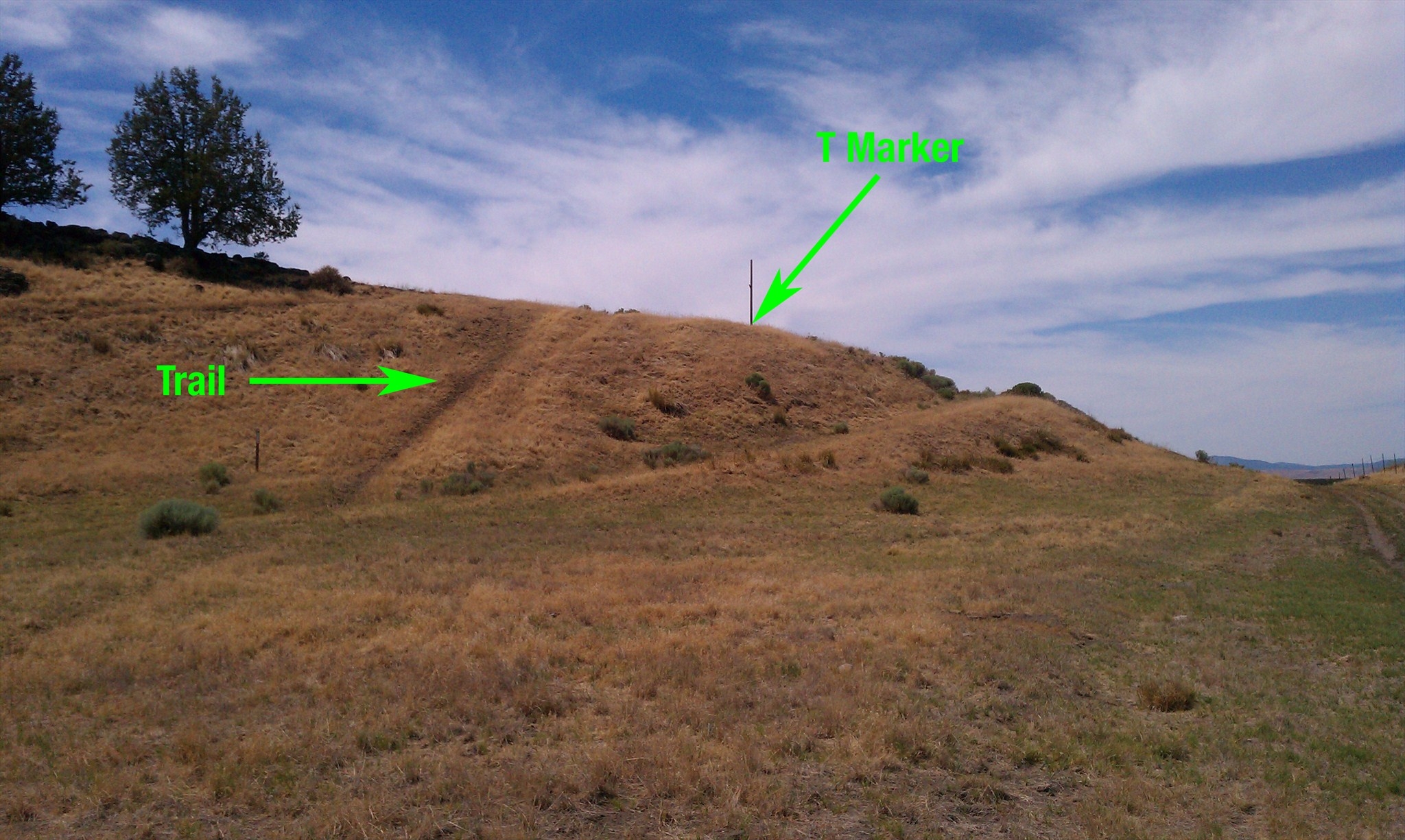
Applegate Trail - Campt Marker | Additional Description: A wonderful view of the Applegate Trail that slopes down this hill. The T marker is on top of the hill by the former telephone pole. It needs to be mentioned that Lower Klamath Lake was once much higher in water elevation before dams were built in the early 1900s. This has allowed Dorris Brownell Rd to pass through here when at one time the road was covered by lake water.
Submitted: January 21, 2018, by Douglass Halvorsen of Klamath Falls, Oregon.
Database Locator Identification Number: p413654
File Size: 0.567 Megabytes
To see the metadata that may be embedded in this photo, sign in and then return to this page.