Photograph as originally submitted to
this page in the Historical Marker Database
www.HMdb.org.
Click on photo to resize in browser. Scroll down to see metadata.
Photographer: the State of Louisiana
Caption:
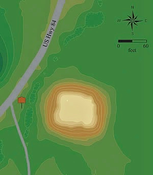
Map showing mound location. | Additional Description:
Excavations show the mound was built in two stages, a short length of time apart. It was built over a walled, probably ceremonial, structure about 20 to 30 feet in diameter, which was burned and covered with dirt before mound construction.Submitted: March 31, 2018, by Mark Hilton of Montgomery, Alabama.
Database Locator Identification Number: p421153
File Size: 0.067 Megabytes
To see the metadata that may be embedded in this photo, sign in and then return to this page.