Photograph as originally submitted to
this page in the Historical Marker Database
www.HMdb.org.
Click on photo to resize in browser. Scroll down to see metadata.
Photographer: Douglass Halvorsen
Caption:
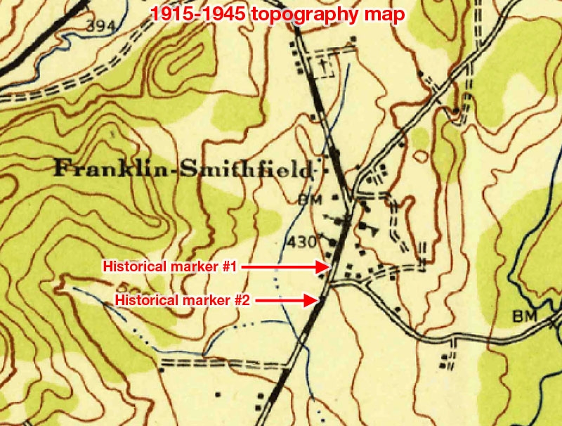
Smithfield Marker | Additional Description: An older topography map listing this area as both 'Franklin-Smithfield.' Two historical markers highlighting Daniel Smith are located close to each other.
Submitted: May 3, 2018, by Douglass Halvorsen of Klamath Falls, Oregon.
Database Locator Identification Number: p425375
File Size: 0.200 Megabytes
To see the metadata that may be embedded in this photo, sign in and then return to this page.