Photograph as originally submitted to
this page in the Historical Marker Database
www.HMdb.org.
Click on photo to resize in browser. Scroll down to see metadata.
Photographer: Courtesy of DHR database, 04/25/2018.
Caption:
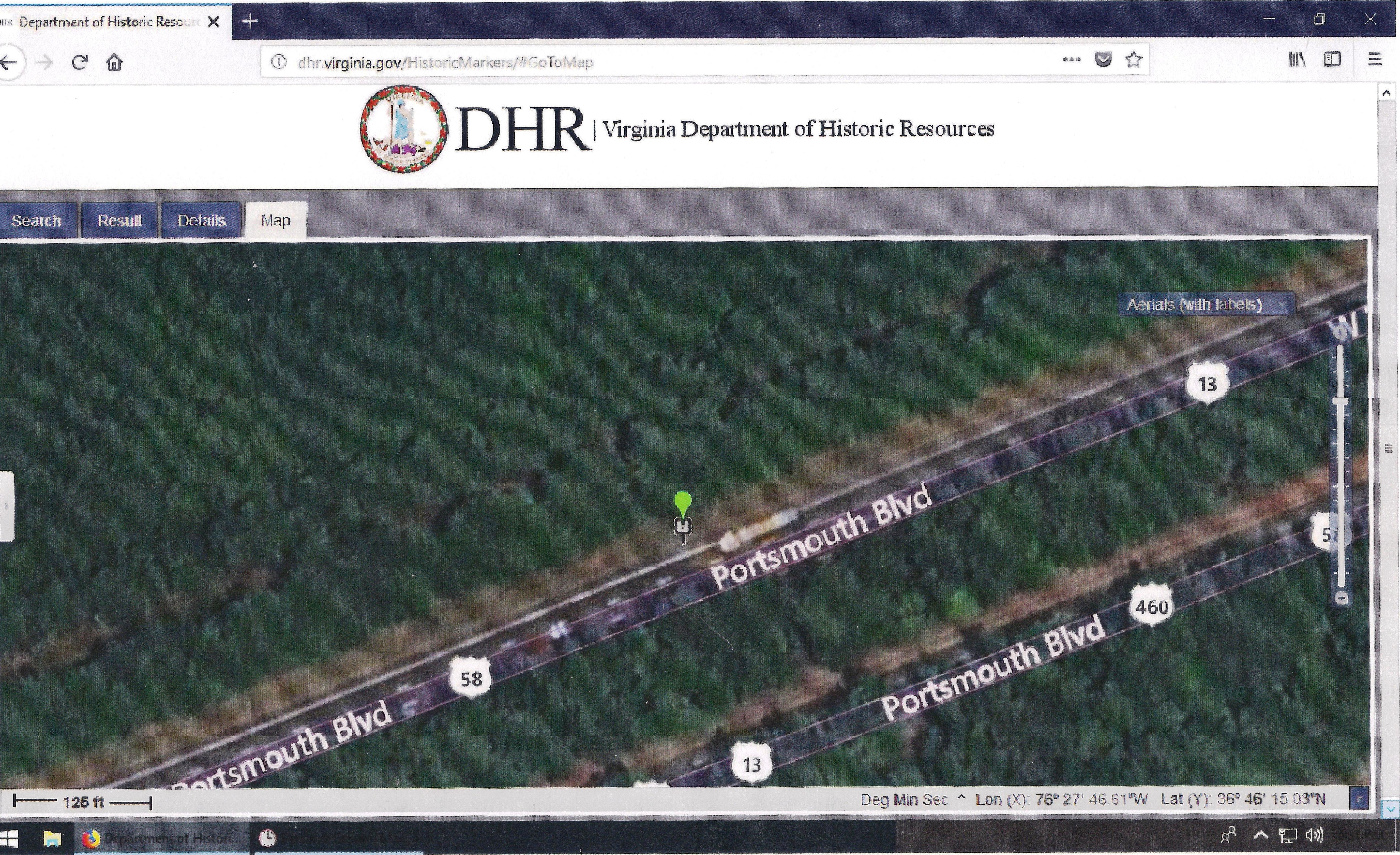
Exhibit E – A DHR Aerial Image. | Additional Description: This image, captured from the Department of Historic Resources database, shows Z-235 with GPS coordinates of 36°46'15.03"N and 76°27'46.61"W.
Submitted: June 10, 2018, by Cynthia L. Clark of Suffolk, Virginia.
Database Locator Identification Number: p430110
File Size: 5.410 Megabytes
To see the metadata that may be embedded in this photo, sign in and then return to this page.