Photograph as originally submitted to
this page in the Historical Marker Database
www.HMdb.org.
Click on photo to resize in browser. Scroll down to see metadata.
Photographer: Courtesy of Google Earth Map, 2016.
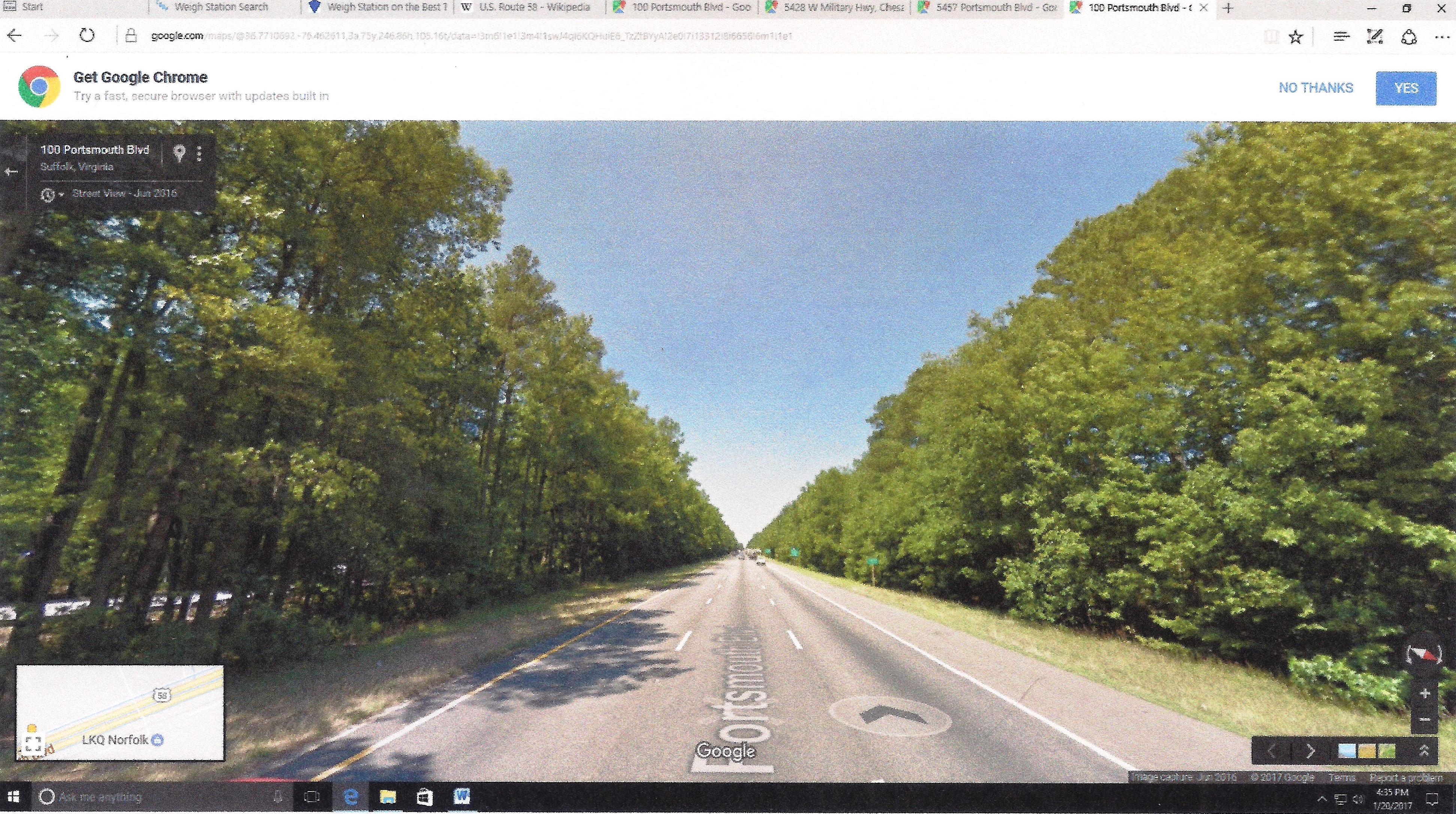
Caption:
Exhibit F – June 2016 Signs Positions. | Additional Description: This Google map image was captured January 20, 2017. And despite its poor quality, four roadside signs, distinguishable by color and shape, are visible. Here marker Z-235 appears as a small white speck near the last car on the highway. It stands between the Suffolk promotional (
second) and weigh station (
last) signs. Compare with (
Exhibit D ). The Suffolk’s city limit sign is pictured first.
Submitted: June 10, 2018, by Cynthia L. Clark of Suffolk, Virginia.
Database Locator Identification Number: p430113
File Size: 2.194 Megabytes
To see the metadata that may be embedded in this photo, sign in and then return to this page.