Photograph as originally submitted to
this page in the Historical Marker Database
www.HMdb.org.
Click on photo to resize in browser. Scroll down to see metadata.
Photographer: Cosmos Mariner
Taken: September 17, 2017
Caption:
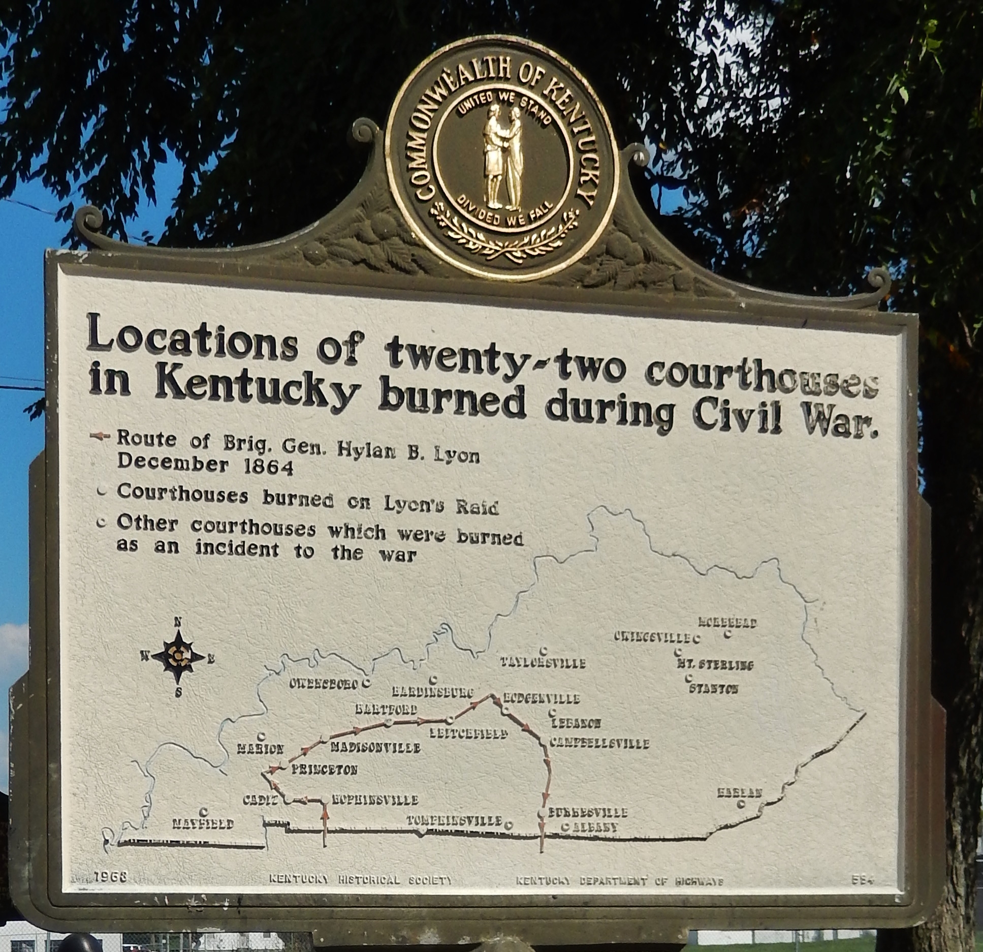
Courthouse Burned Marker (side 2 - map of Kentucky courthouses burned) | Additional Description: The twenty-two Kentucky courthouses burned during the civil war were located at: Mayfield, Cadiz, Marion, Princeton, Hopkinsville, Madisonville, Owensboro, Hartford,
Hardinsburg, Leitchfield, Tompkinsville, Hodgenville, Taylorsville, Lebanon, Campbellsville, Burkesville, Albany, Harlan, Stanton, Mt. Sterling, Owingsville and Morehead.
Submitted: July 6, 2018, by Cosmos Mariner of Cape Canaveral, Florida.
Database Locator Identification Number: p434006
File Size: 1.407 Megabytes
To see the metadata that may be embedded in this photo, sign in and then return to this page.