Photograph as originally submitted to
this page in the Historical Marker Database
www.HMdb.org.
Click on photo to resize in browser. Scroll down to see metadata.
Photographer: Mark Hilton
Taken: July 7, 2018
Caption:
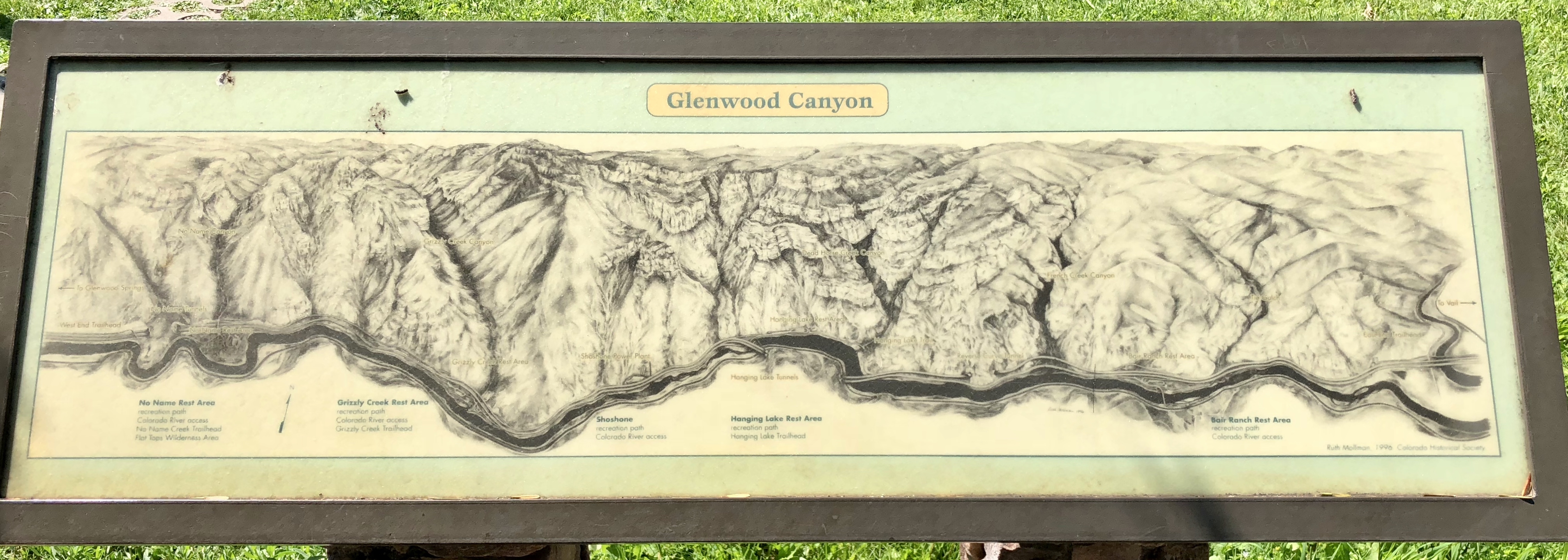
A Colorado Historical Society terrain map of the Glenwood Canyon. | Additional Description:
This map is located to the left of this marker.Submitted: July 14, 2018, by Mark Hilton of Montgomery, Alabama.
Database Locator Identification Number: p435025
File Size: 4.021 Megabytes
To see the metadata that may be embedded in this photo, sign in and then return to this page.