Photograph as originally submitted to
this page in the Historical Marker Database
www.HMdb.org.
Click on photo to resize in browser. Scroll down to see metadata.
Photographer: Craig Swain
Taken: September 17, 2008
Caption:
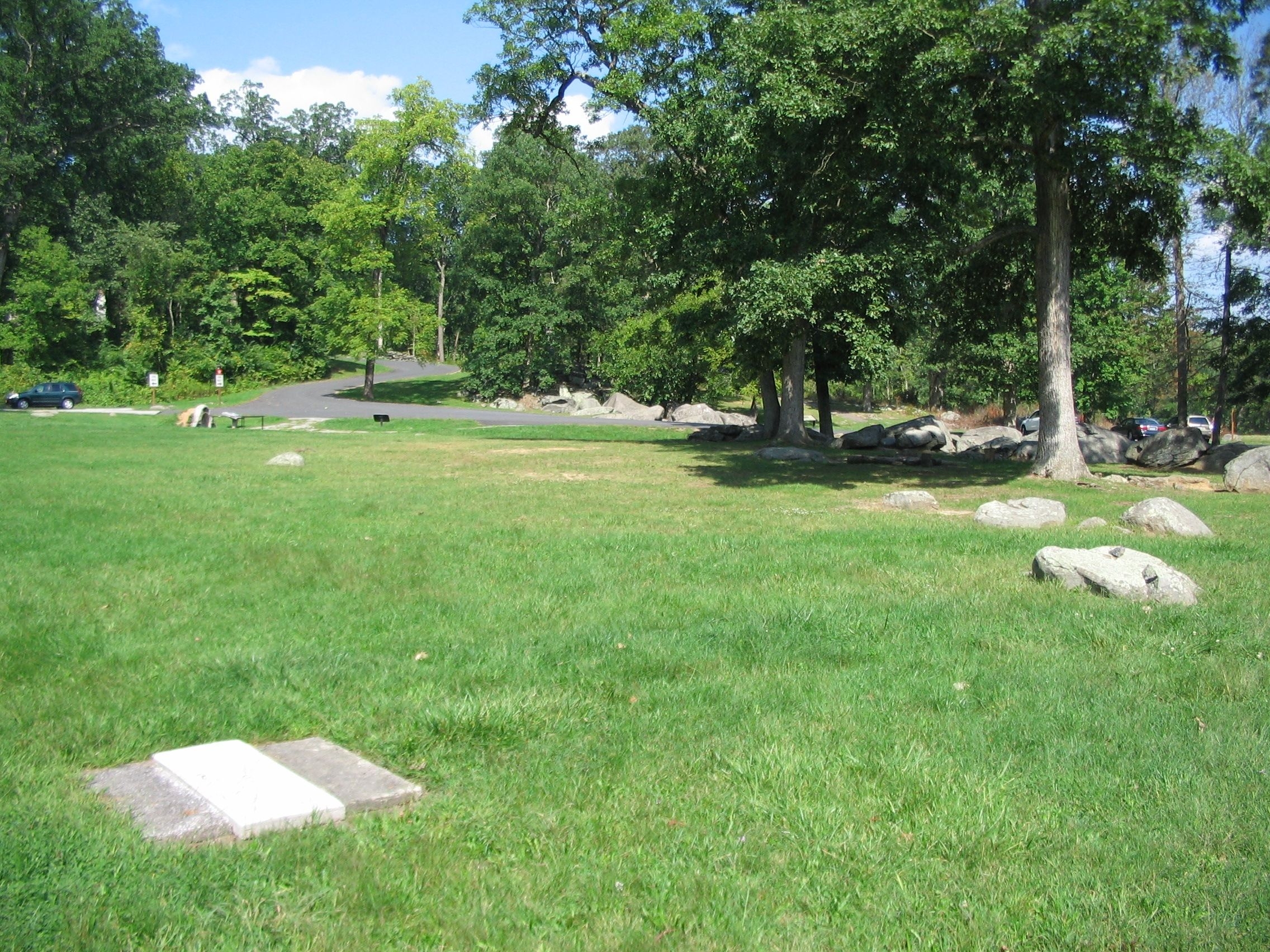
Spangler's Spring | Additional Description: Looking from across Spangler's Meadow at the marker location and parking area (on the far right behind the boulders). The contest in this sector of the battlefield was for possession of the high ground in the distant center, near where Slocum Avenue snakes up Culp's Hill. Spangler's Spring, seen here on the left near the road intersection, and Meadow were scenes of heavy fighting on July 3 as Federals attempted to dislodge the Confederates from that high ground.
Submitted: November 16, 2008, by Craig Swain of Leesburg, Virginia.
Database Locator Identification Number: p43729
File Size: 1.793 Megabytes
To see the metadata that may be embedded in this photo, sign in and then return to this page.