Photograph as originally submitted to
this page in the Historical Marker Database
www.HMdb.org.
Click on photo to resize in browser. Scroll down to see metadata.
Caption:
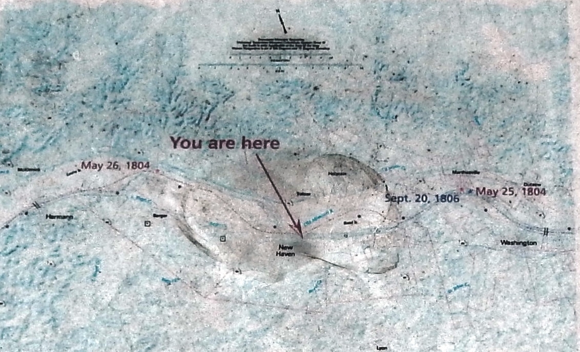
Marker detail: Lewis and Clark Expedition Map (May 26, 1804 & September 20, 1806) | Additional Description: Map prepared by James D. Harlan, University of Missouri Geographical Resources Center; for Lewis and Clark Historic Landscape Project, funded by the Office of Secretary of State
Submitted: August 9, 2018, by Cosmos Mariner of Cape Canaveral, Florida.
Database Locator Identification Number: p439337
File Size: 0.420 Megabytes
To see the metadata that may be embedded in this photo, sign in and then return to this page.