Photograph as originally submitted to
this page in the Historical Marker Database
www.HMdb.org.
Click on photo to resize in browser. Scroll down to see metadata.
Photographer: J. J. Prats
Taken: August 31, 2018
Caption:
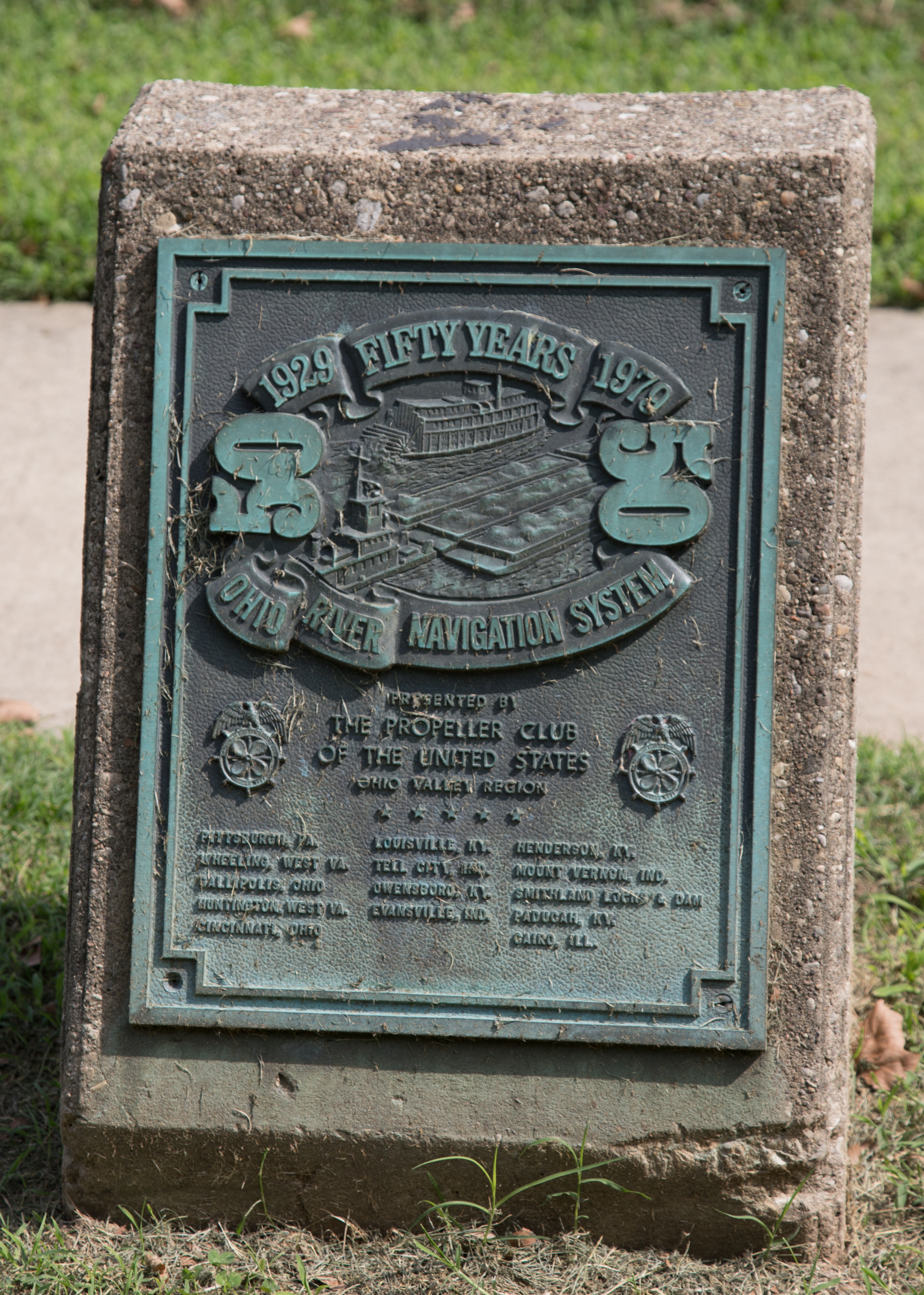
1929–1079 – Fifty Years – Ohio River Navigation System | Additional Description: Presented by The Propeller Club of the United States, Ohio Valley Region. Pittsburg, Pa. • Wheeling, West Va. • Gallipolis, Ohio • Huntington, West Va. • Louisville, Ky. • Tell City, Ind. • Owensboro, Ky. • Evansville, Ind. • Henderson, Ky. • Mount Vernon, Ind. • Smithland Locks & Dam • Paducah, Ky. • Cairo, Ill.
Submitted: September 5, 2018, by J. J. Prats of Powell, Ohio.
Database Locator Identification Number: p444352
File Size: 10.546 Megabytes
To see the metadata that may be embedded in this photo, sign in and then return to this page.