Photograph as originally submitted to
this page in the Historical Marker Database
www.HMdb.org.
Click on photo to resize in browser. Scroll down to see metadata.
Caption:
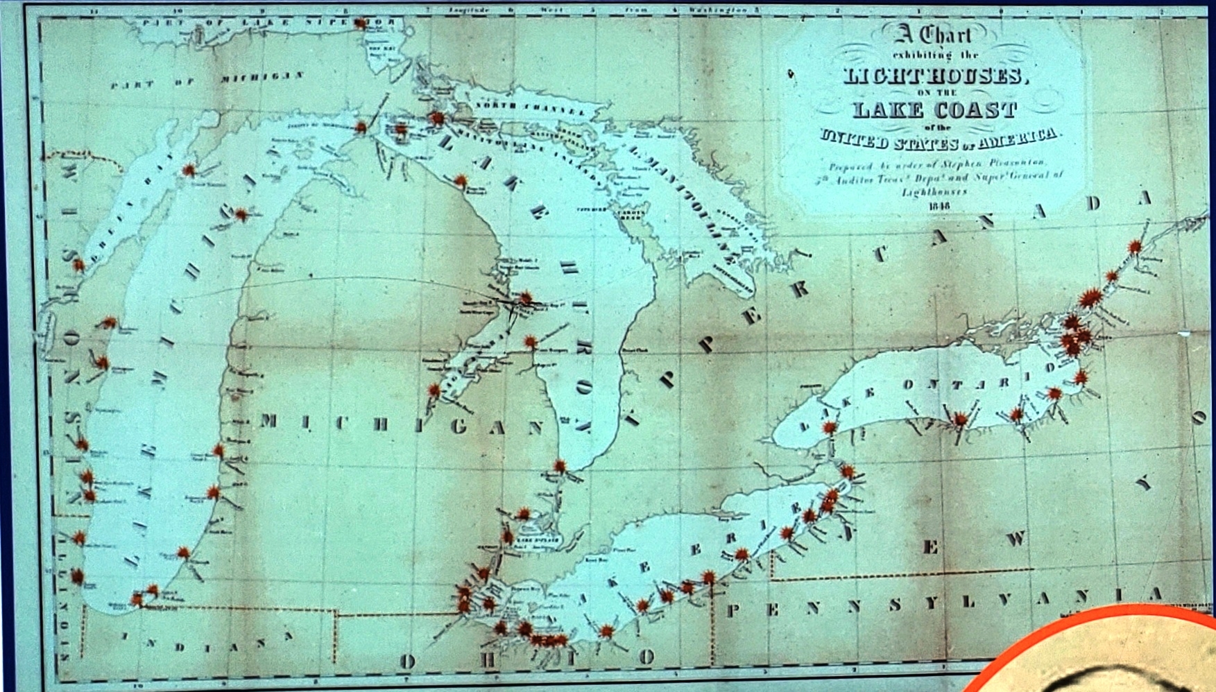
Marker detail: 1848 Map of the Great Lakes | Additional Description: This 1848 map shows the location of early lighthouses on the Great Lakes. The Tawas Point light is not shown because it was not built until 1853.
Submitted: October 1, 2018, by Cosmos Mariner of Cape Canaveral, Florida.
Database Locator Identification Number: p447666
File Size: 0.909 Megabytes
To see the metadata that may be embedded in this photo, sign in and then return to this page.