Photograph as originally submitted to
this page in the Historical Marker Database
www.HMdb.org.
Click on photo to resize in browser. Scroll down to see metadata.
Taken: July 24, 2018
Caption:
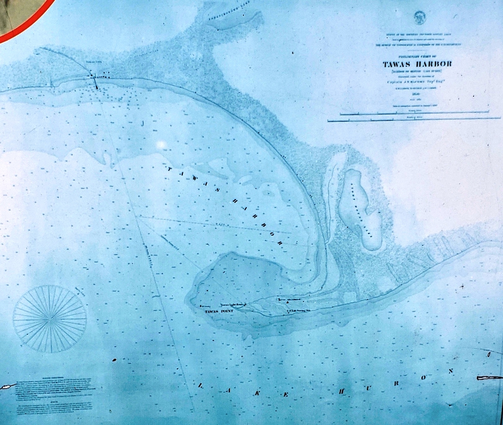
Marker detail: 1880 Great Lakes map | Additional Description: The steady growth of vessel traffic on Lake Huron resulted in better charts of the area. This map was published by the War Department, Bureau of Topographical Engineers around 1880. On it you can see the discontinued 1853 lighthouse, the new Tawas lighthouse, and the U.S. Lifesaving Station.
Submitted: October 1, 2018, by Cosmos Mariner of Cape Canaveral, Florida.
Database Locator Identification Number: p447668
File Size: 0.932 Megabytes
To see the metadata that may be embedded in this photo, sign in and then return to this page.