Photograph as originally submitted to
this page in the Historical Marker Database
www.HMdb.org.
Click on photo to resize in browser. Scroll down to see metadata.
Photographer: Dale K. Benington
Taken: April 3, 2019
Caption:
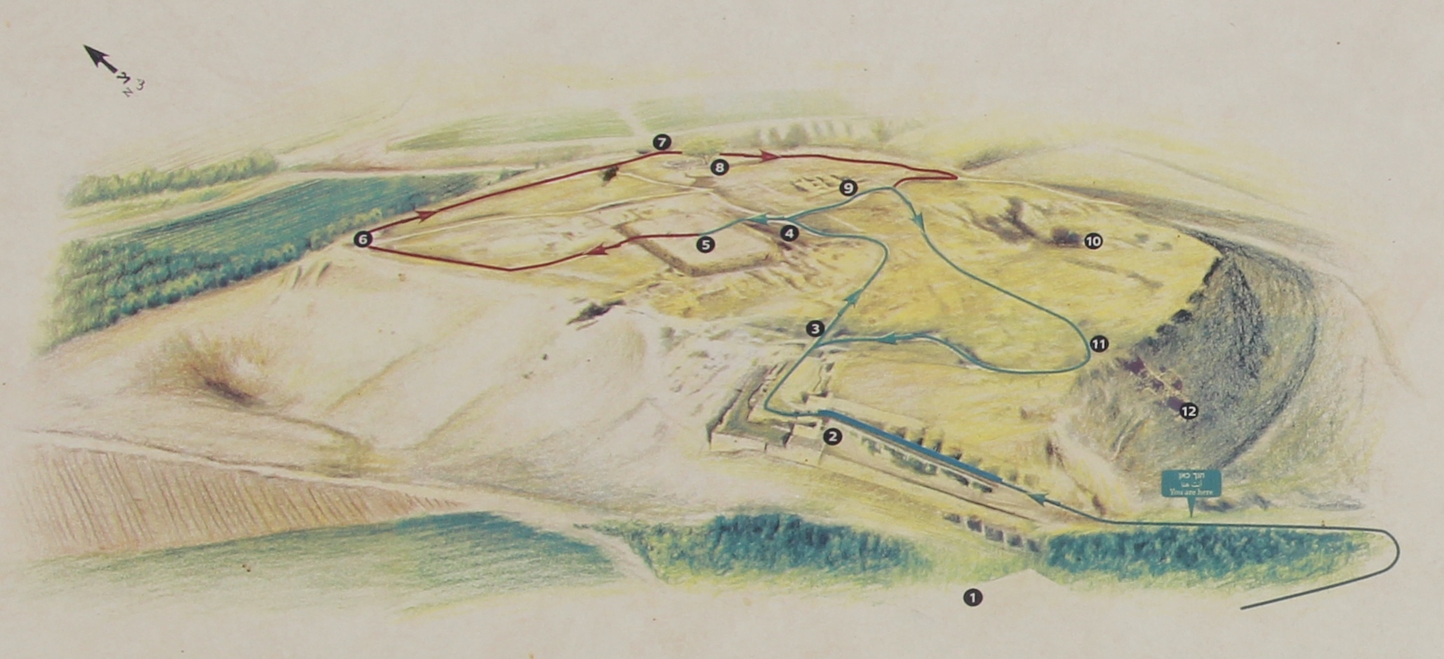
Tel Lachish National Park Marker | Additional Description: A close up view, of the map illustration that appears on this marker. The map illustration shows the various walking routes, along with the stops, that focus on structures from the time of King Hezekiah.
Submitted: April 24, 2019, by Dale K. Benington of Toledo, Ohio.
Database Locator Identification Number: p471652
File Size: 0.509 Megabytes
To see the metadata that may be embedded in this photo, sign in and then return to this page.