Photograph as originally submitted to
this page in the Historical Marker Database
www.HMdb.org.
Click on photo to resize in browser. Scroll down to see metadata.
Caption:
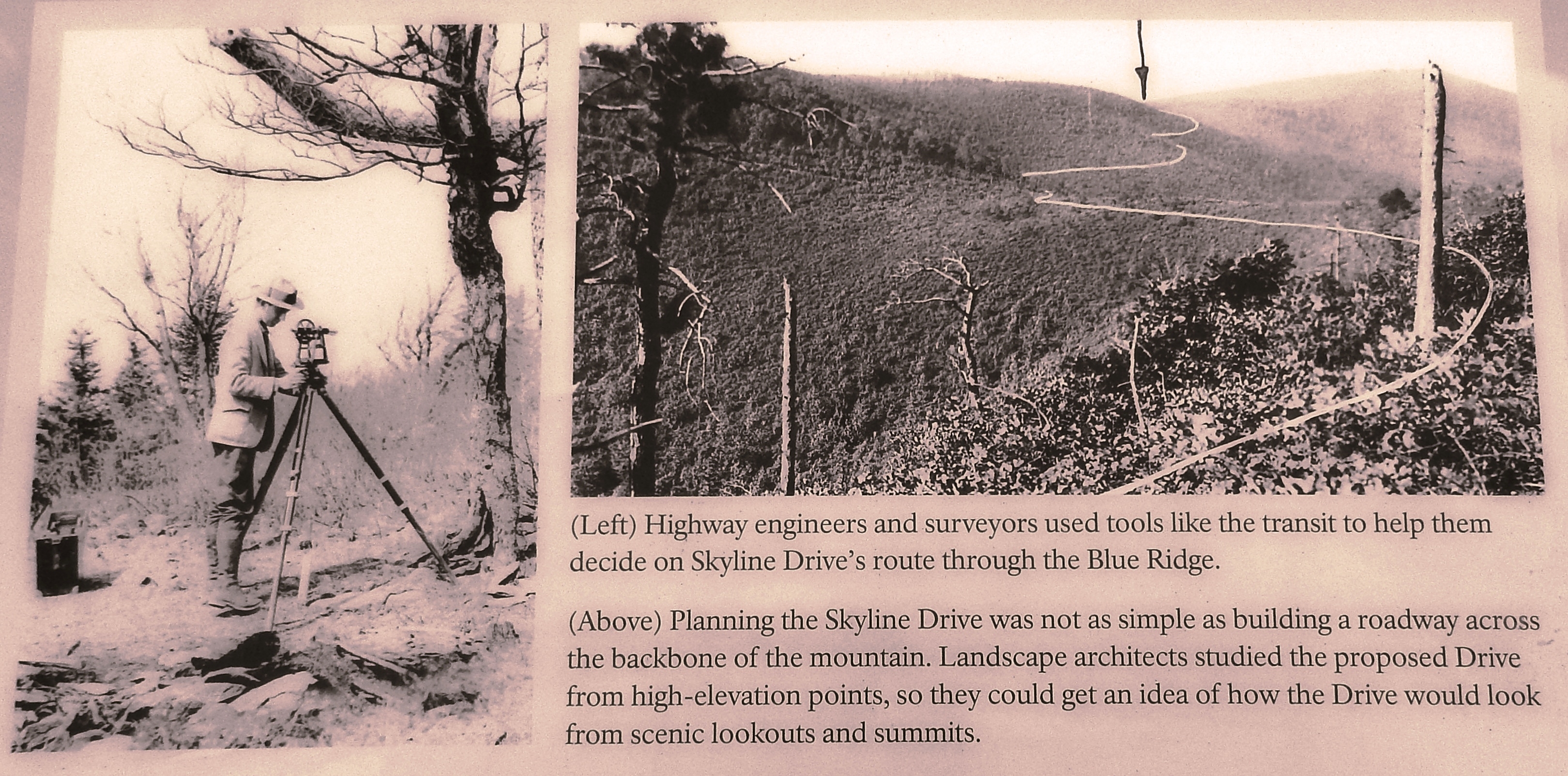
Marker detail: Planning the Skyline Drive | Additional Description: (Left) Highway engineers and surveyors used tools like the transit to help them decide on Skyline Drive's route through the Blue Ridge.
(Above) Planning the Skyline Drive was not as simple as building a roadway across the backbone of the mountain. Landscape architects studied the proposed Drive from high-elevation points, so they could get an idea of how the Drive would look from scenic lookouts and summits.
Submitted: May 26, 2019, by Cosmos Mariner of Cape Canaveral, Florida.
Database Locator Identification Number: p476505
File Size: 2.449 Megabytes
To see the metadata that may be embedded in this photo, sign in and then return to this page.