Photograph as originally submitted to
this page in the Historical Marker Database
www.HMdb.org.
Click on photo to resize in browser. Scroll down to see metadata.
Photographer: Howard C. Ohlhous
Taken: October 20, 2008
Caption:
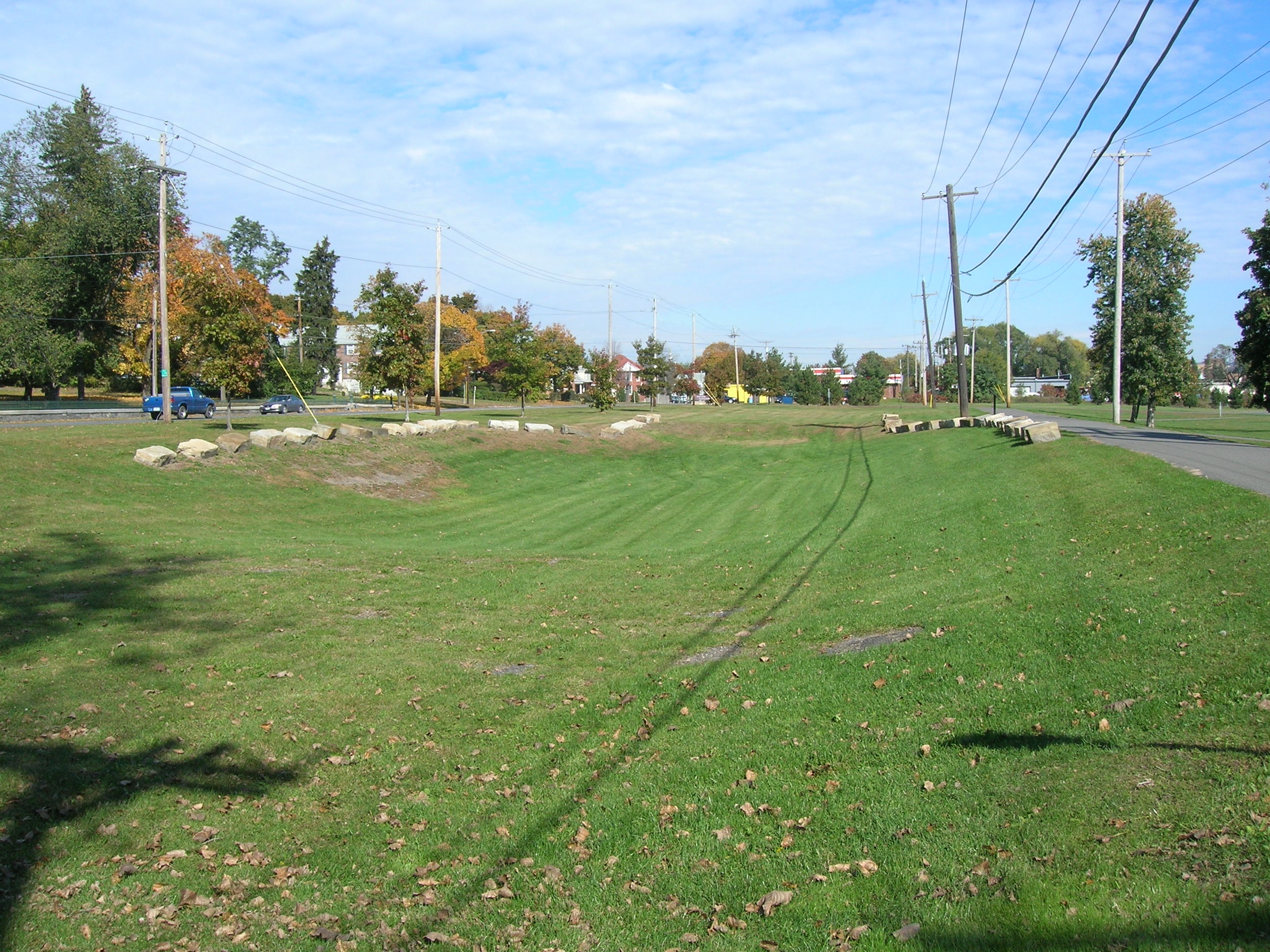
The Erie Canal | Additional Description: The depression outlined by the stone blocks is the section of unfilled Erie Canal. The marker is on the right, between the paved footpath and the heavy stones. Route 32 is on the left.
Submitted: December 27, 2008, by Howard C. Ohlhous of Duanesburg, New York.
Database Locator Identification Number: p47908
File Size: 1.087 Megabytes
To see the metadata that may be embedded in this photo, sign in and then return to this page.