Photograph as originally submitted to
this page in the Historical Marker Database
www.HMdb.org.
Click on photo to resize in browser. Scroll down to see metadata.
Photographer: Craig Swain
Taken: November 11, 2008
Caption:
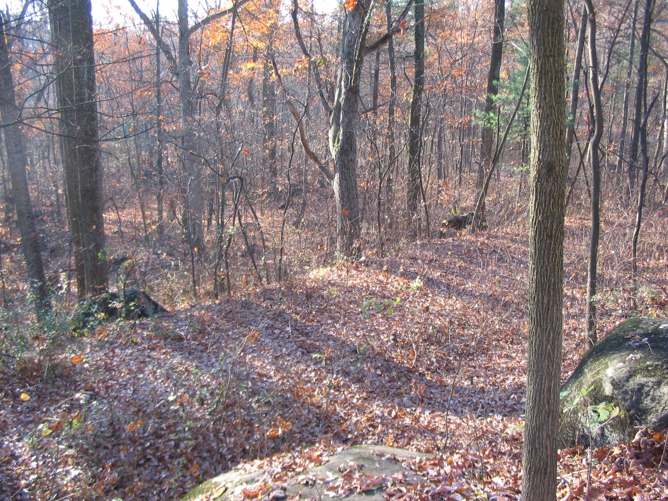
Old Chamerlain Avenue | Additional Description: One of the "lost roads" in Gettysburg. Built in 1902, Chamberlain Avenue passed just east of the 20th Maine monument and linked back into Sykes Avenue further up the hill. The road was removed in the 1930s, but the grade remains visible and gives a false "flat" often confused for a ledge where the two sides fought during the battle.
Submitted: January 2, 2009, by Craig Swain of Leesburg, Virginia.
Database Locator Identification Number: p48738
File Size: 2.074 Megabytes
To see the metadata that may be embedded in this photo, sign in and then return to this page.