Photograph as originally submitted to
this page in the Historical Marker Database
www.HMdb.org.
Click on photo to resize in browser. Scroll down to see metadata.
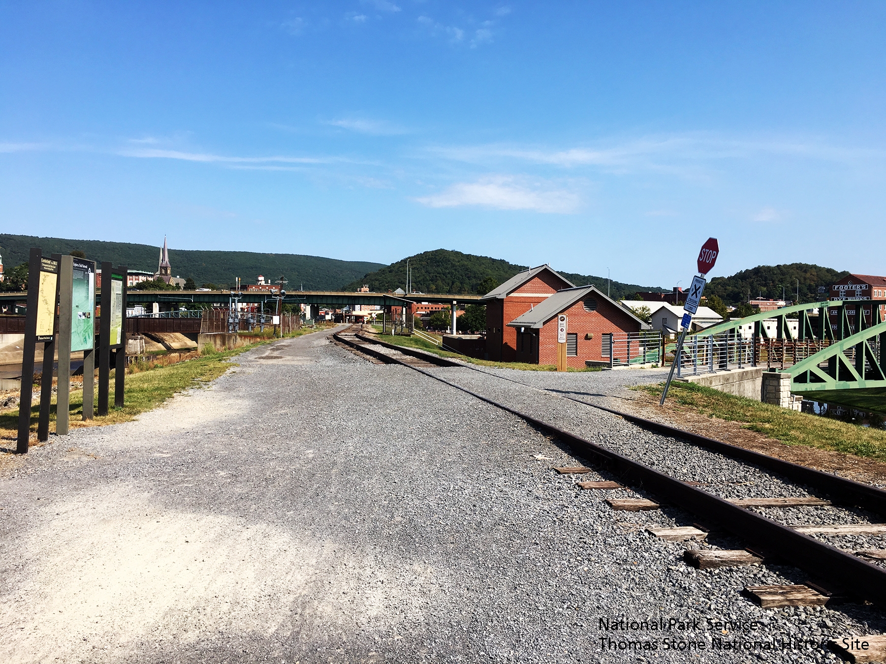
Photographer: National Park Service, Thomas Stone National Historic Site
Taken: September 16, 2019
Caption:
Explore a Trail Network marker and two orientation maps for the C&O Canal National Historical Park. | Additional Description: Note #1: Viewing north towards marker and signs.
Note #2: Footbridge heading to Canal Place is visible on right side of image.
Submitted: September 24, 2019.
Database Locator Identification Number: p494946
File Size: 2.257 Megabytes
To see the metadata that may be embedded in this photo, sign in and then return to this page.