Photograph as originally submitted to
this page in the Historical Marker Database
www.HMdb.org.
Click on photo to resize in browser. Scroll down to see metadata.
Photographer: Steve Stoessel
Caption:
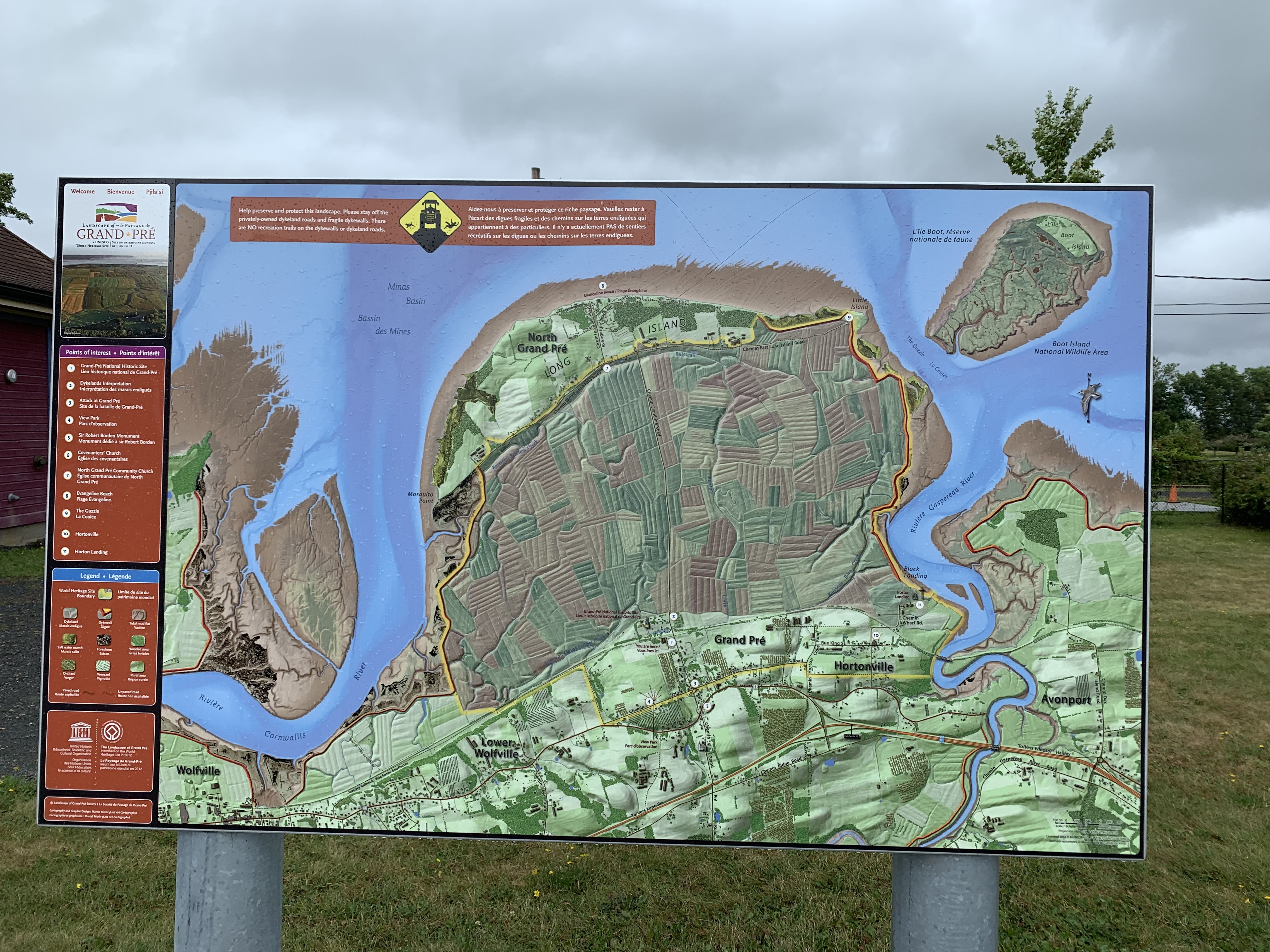
The Dykelands | Additional Description: The New England planters gradually expanded the original dikes to include all of the area between the island and the mainland between the Cornwallis and Gaspereau Rivers. The flat area in the center of the map shows the current dykelands.
Submitted: September 27, 2019, by Steve Stoessel of Niskayuna, New York.
Database Locator Identification Number: p495391
File Size: 4.189 Megabytes
To see the metadata that may be embedded in this photo, sign in and then return to this page.