Photograph as originally submitted to
this page in the Historical Marker Database
www.HMdb.org.
Click on photo to resize in browser. Scroll down to see metadata.
Photographer: Andrew Ruppenstein
Taken: October 10, 2019
Caption:
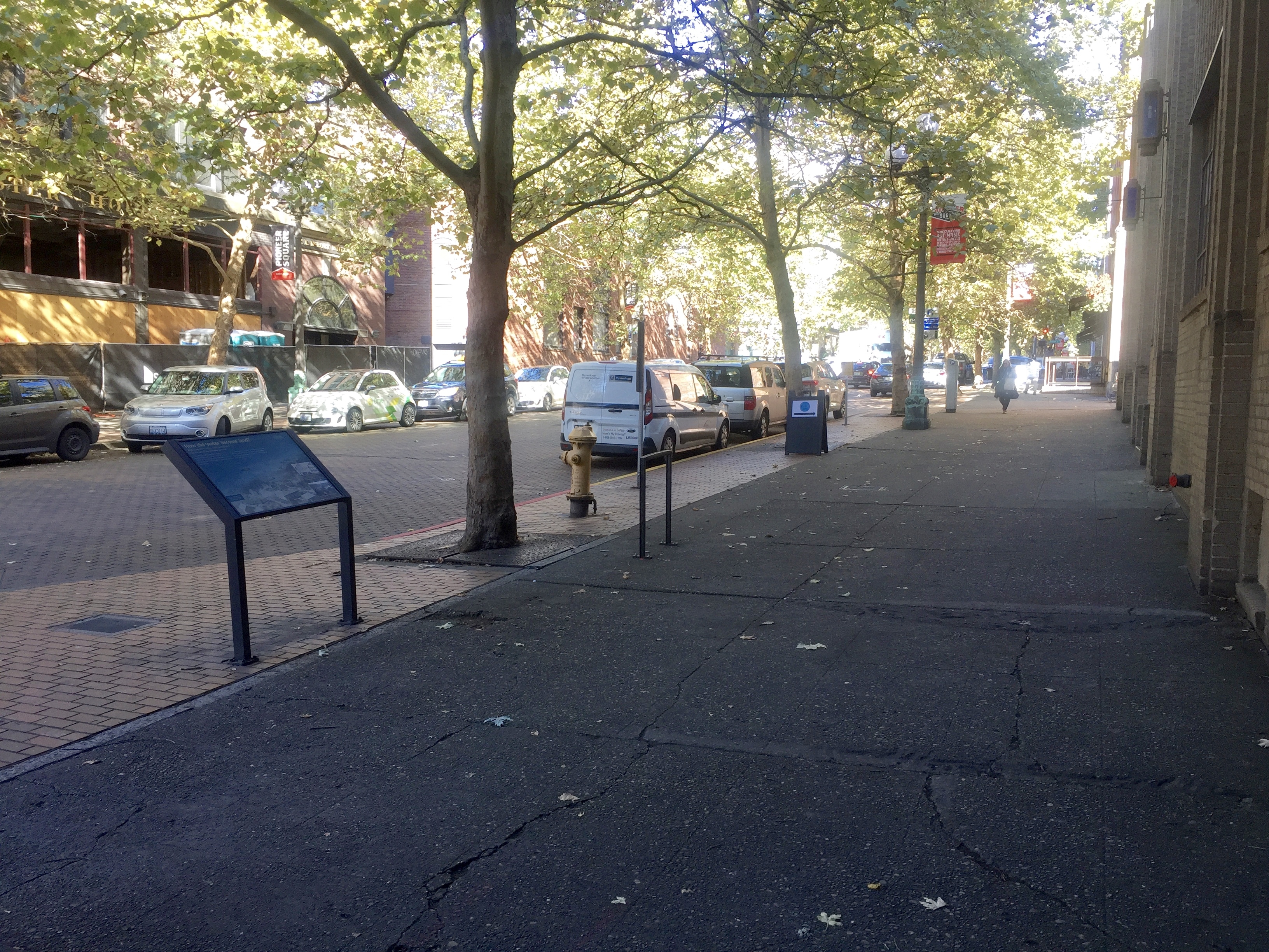
How Did Water Become Land? Marker - wide view, looking north on Occidental Avenue South | Submitted: October 11, 2019, by Andrew Ruppenstein of Lamorinda, California.
Database Locator Identification Number: p497445
File Size: 3.757 Megabytes
To see the metadata that may be embedded in this photo, sign in and then return to this page.