Photograph as originally submitted to
this page in the Historical Marker Database
www.HMdb.org.
Click on photo to resize in browser. Scroll down to see metadata.
Photographer: I.E. Vidal cartographer, Library and Archives Canada NMC 11378
Caption:
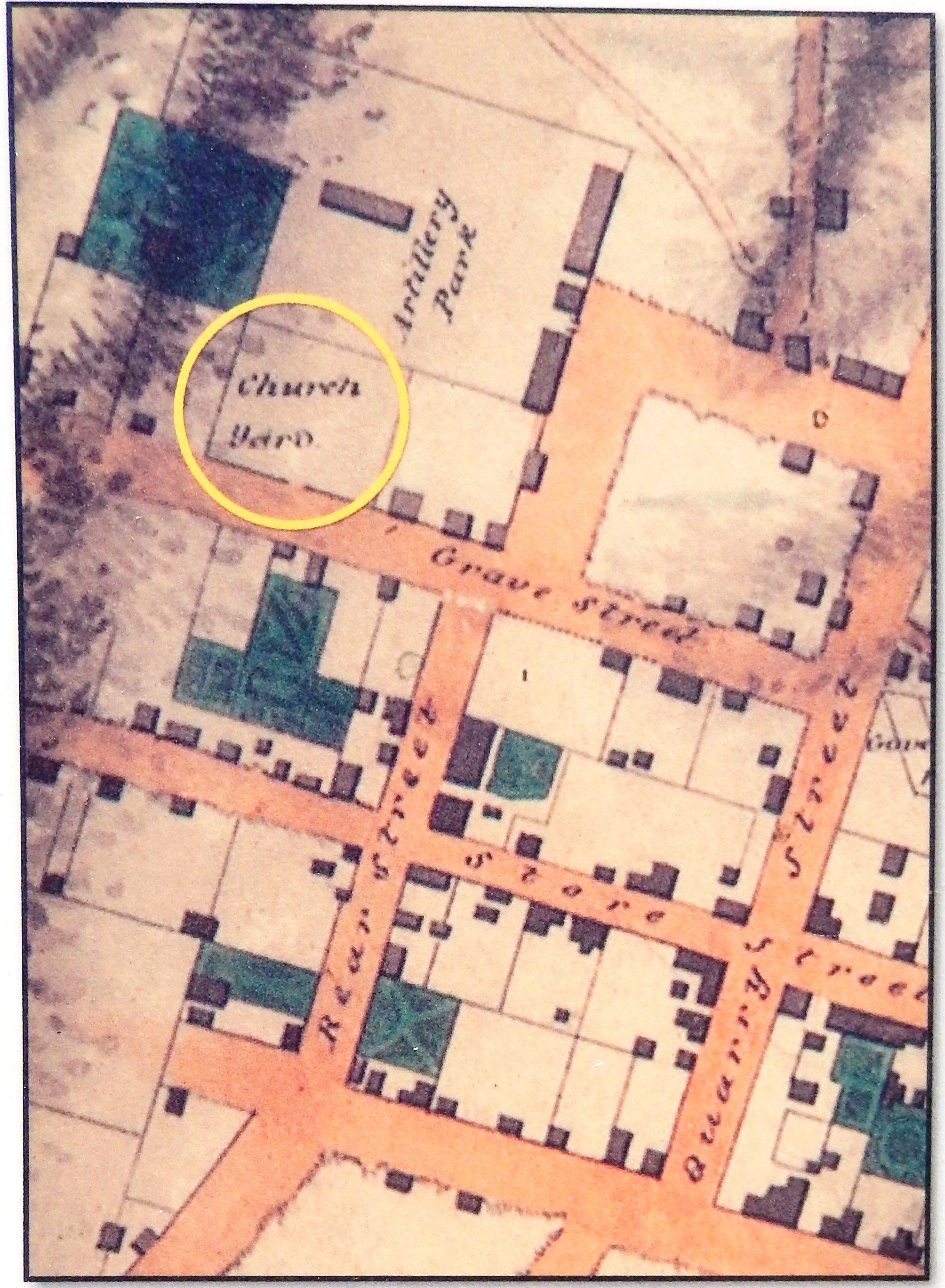
Marker detail: An 1816 map of Kingston showing the "Church Yard"
(Lower Burial Ground) | Additional Description:
Note that the street names have changed.Submitted: October 24, 2019, by Cosmos Mariner of Cape Canaveral, Florida.
Database Locator Identification Number: p499410
File Size: 1.836 Megabytes
To see the metadata that may be embedded in this photo, sign in and then return to this page.