Photograph as originally submitted to
this page in the Historical Marker Database
www.HMdb.org.
Click on photo to resize in browser. Scroll down to see metadata.
Photographer: Bill Coughlin
Taken: April 23, 2007
Caption:
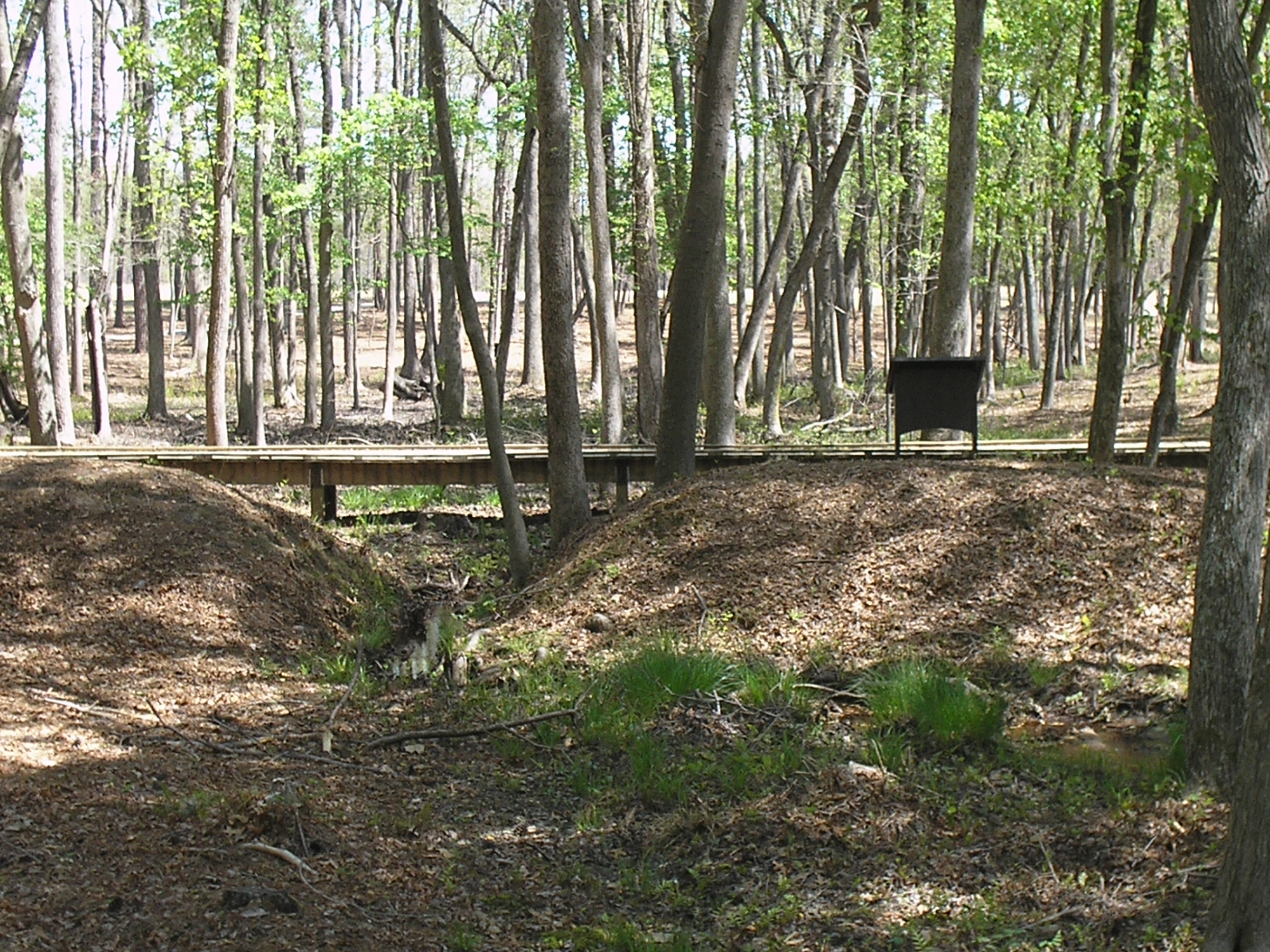
Confederate Fortifications | Additional Description: This photo shows the earthworks being bisected by the Arthur’s Swamp stream. The marker is also visible on the bridge spanning the stream.
Submitted: January 18, 2009, by Bill Coughlin of Woodland Park, New Jersey.
Database Locator Identification Number: p50449
File Size: 2.576 Megabytes
To see the metadata that may be embedded in this photo, sign in and then return to this page.