Photograph as originally submitted to
this page in the Historical Marker Database
www.HMdb.org.
Click on photo to resize in browser. Scroll down to see metadata.
Photographer: Barry Swackhamer
Taken: August 16, 2019
Caption:
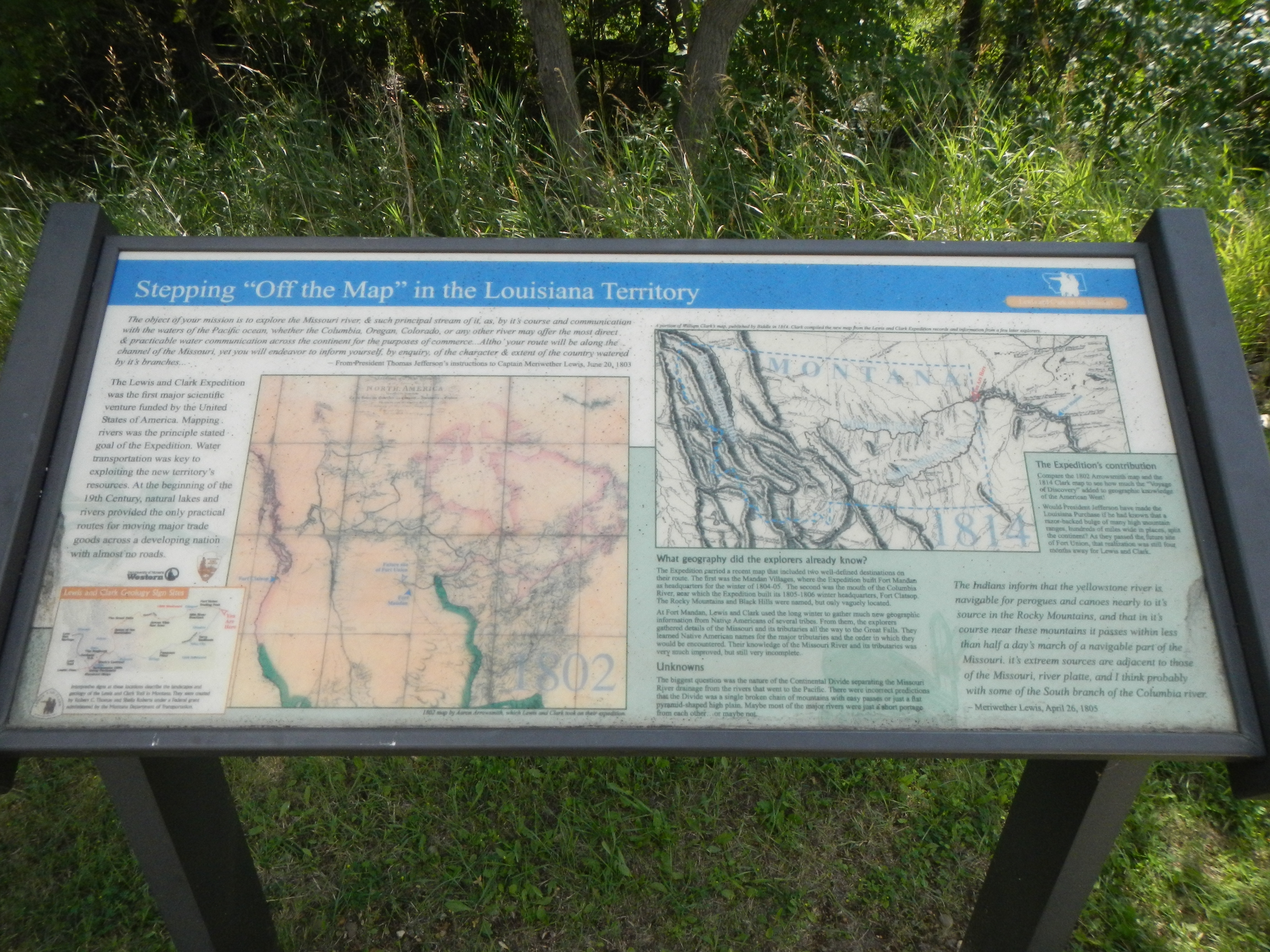
Stepping "Off the Map" in the Louisiana Territory Marker | Additional Description: Captions: (bottom left) Lewis and Clark Geology Sign Sites; (center left) 1802 map by Aaron Arrowsmith which Lewis and Clark took on their expedition.; (upper right) A portion of William Clark's map, published by Biddle in 1814. Clark compiled the new map fro the Lewis and Clark Expedition records and information fro a few later explorers.
Submitted: December 5, 2019, by Barry Swackhamer of Brentwood, California.
Database Locator Identification Number: p504506
File Size: 3.522 Megabytes
To see the metadata that may be embedded in this photo, sign in and then return to this page.