Photograph as originally submitted to
this page in the Historical Marker Database
www.HMdb.org.
Click on photo to resize in browser. Scroll down to see metadata.
Photographer: Andrew Ruppenstein
Taken: October 29, 2015
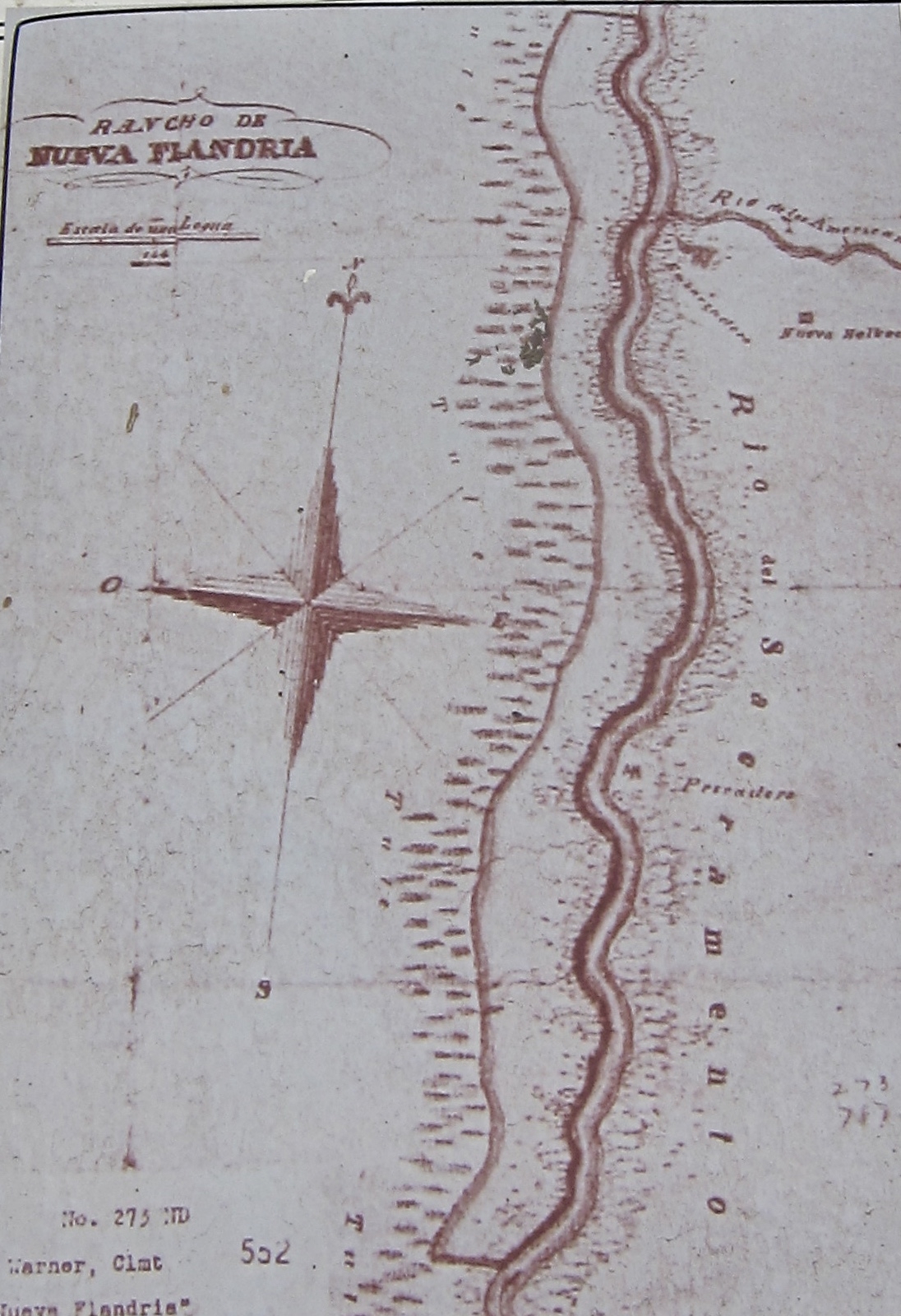
Caption:
Marker inset: map of Nueva Flandria land grant | Additional Description: The marker site on this map would be on the left side of the river towards the very top, just opposite where the American River joins the Sacramento River.
Submitted: January 9, 2020, by Andrew Ruppenstein of Lamorinda, California.
Database Locator Identification Number: p507182
File Size: 0.519 Megabytes
To see the metadata that may be embedded in this photo, sign in and then return to this page.