Photograph as originally submitted to
this page in the Historical Marker Database
www.HMdb.org.
Click on photo to resize in browser. Scroll down to see metadata.
Photographer: Mark Hilton
Taken: May 2, 2020
Caption:
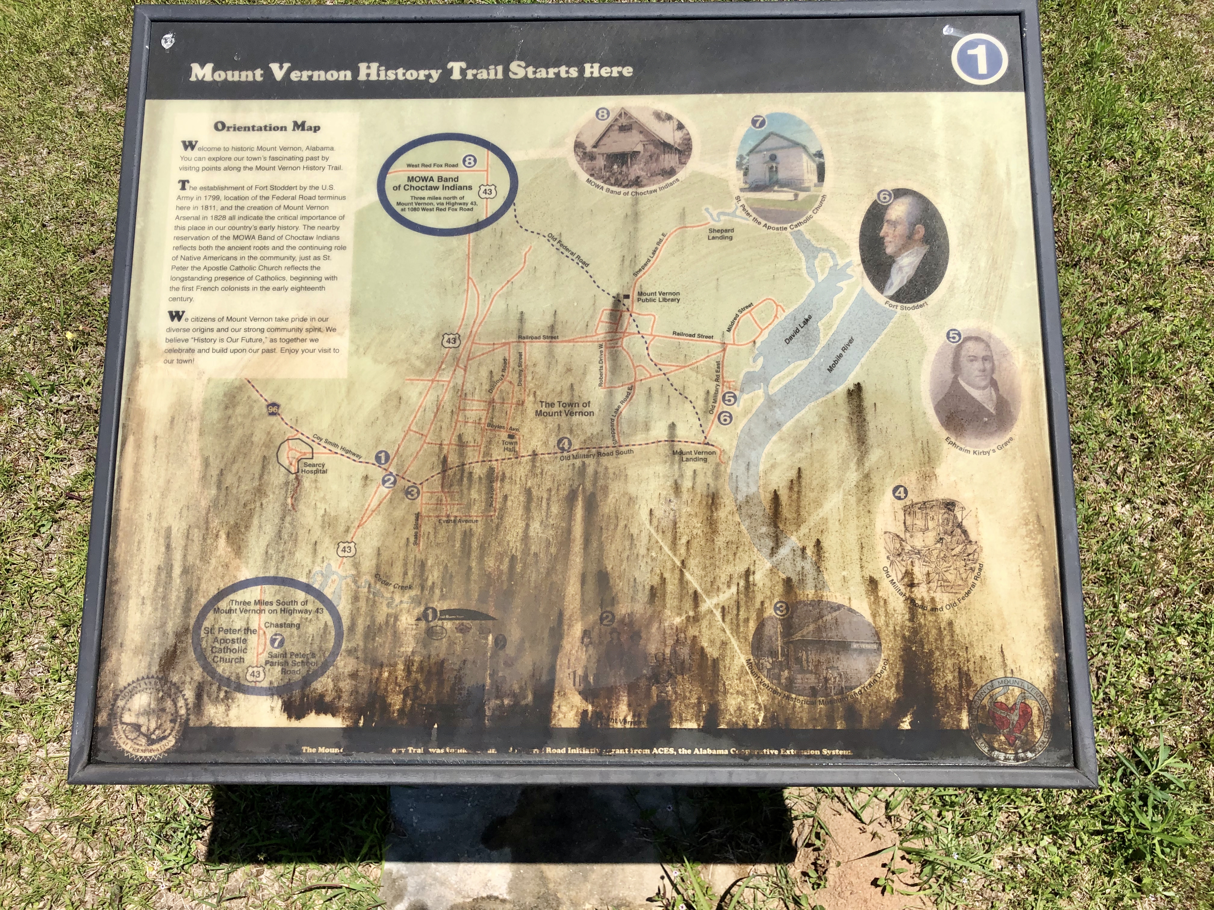
Orientation Map of the Mt Vernon History Trail (#4) | Additional Description: Map (marker) is located at intersection of US-43 and Coy Smith Hwy. Marker has not weathered well. Attempts to clean it were not successful.
Submitted: May 3, 2020, by Mark Hilton of Montgomery, Alabama.
Database Locator Identification Number: p519932
File Size: 14.474 Megabytes
To see the metadata that may be embedded in this photo, sign in and then return to this page.