Photograph as originally submitted to
this page in the Historical Marker Database
www.HMdb.org.
Click on photo to resize in browser. Scroll down to see metadata.
Photographer: Craig Swain
Taken: December 27, 2008
Caption:
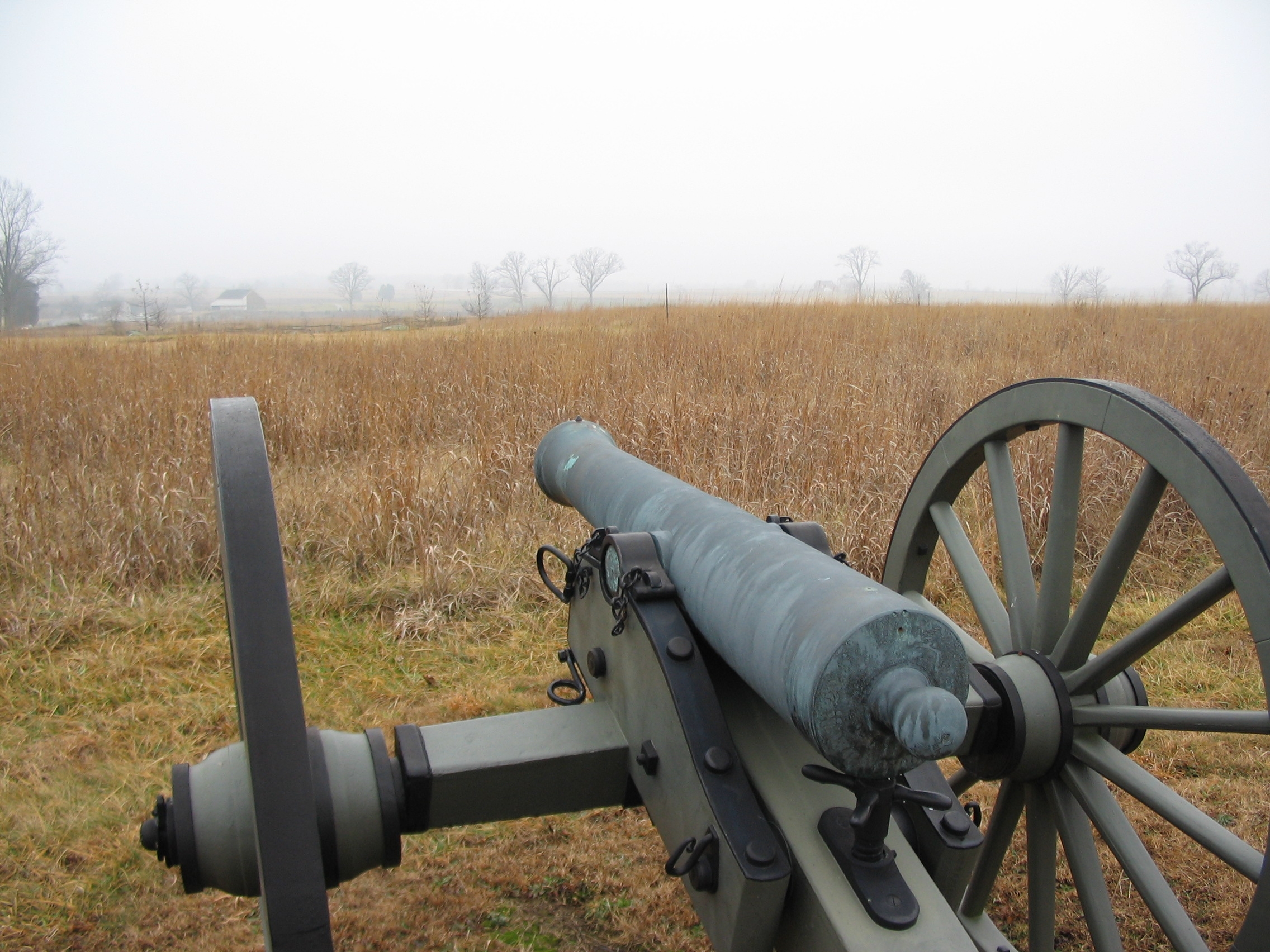
Ames' Battery Field of Fire | Additional Description: On July 3, Ames' Battery covered the ground north of the Weikert Farm. The Trostle Farm is visible in the distance. Confederates maintained a skirmish line near the Trostle Farm, and advanced a section of artillery to that point around mid-day.
Submitted: February 4, 2009, by Craig Swain of Leesburg, Virginia.
Database Locator Identification Number: p52142
File Size: 0.998 Megabytes
To see the metadata that may be embedded in this photo, sign in and then return to this page.