Photograph as originally submitted to
this page in the Historical Marker Database
www.HMdb.org.
Click on photo to resize in browser. Scroll down to see metadata.
Caption:
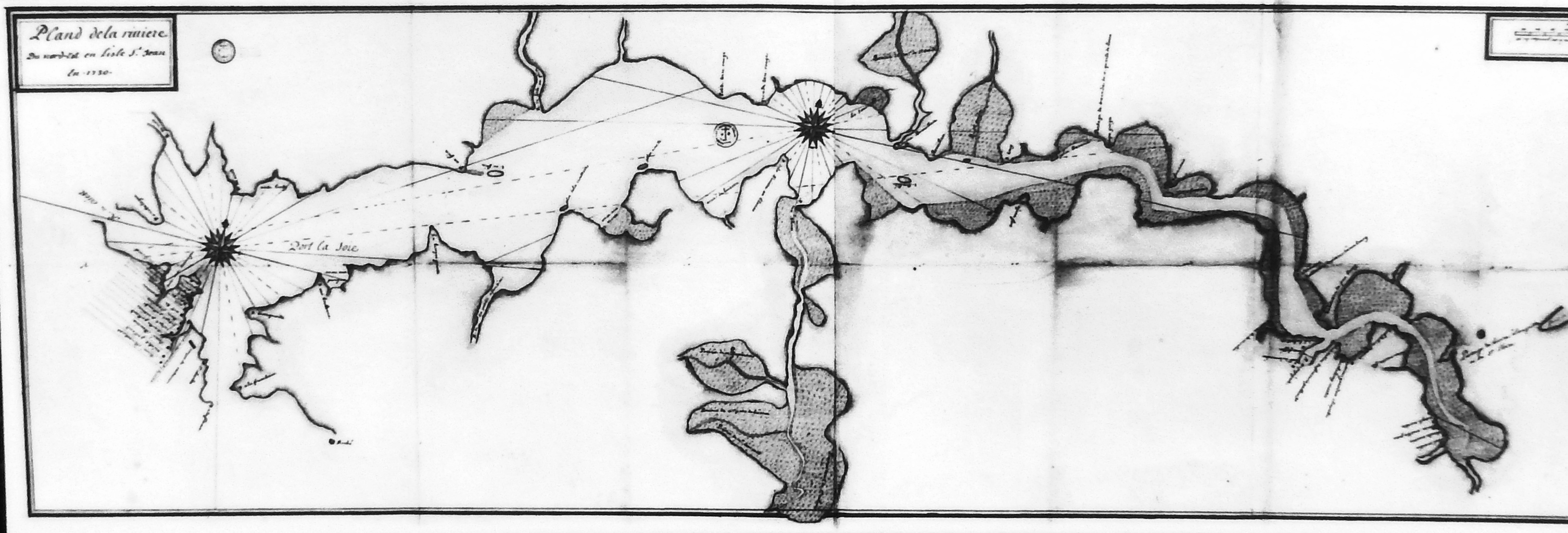
Marker detail: Early map of Hillsborough River | Additional Description: Early map of Hillsborough River showing location of Port-la-Joye.
Carte ancienne de la rivière Hillsborough montrant l'emplacement de Port-la-Joye.
Submitted: May 13, 2020, by Cosmos Mariner of Cape Canaveral, Florida.
Database Locator Identification Number: p521540
File Size: 1.244 Megabytes
To see the metadata that may be embedded in this photo, sign in and then return to this page.