Photograph as originally submitted to
this page in the Historical Marker Database
www.HMdb.org.
Click on photo to resize in browser. Scroll down to see metadata.
Caption:
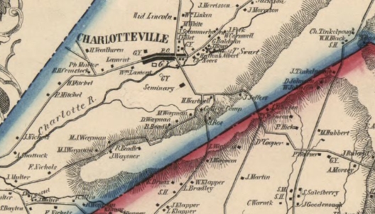
1856 map of Charlotteville | Additional Description: This portion of a map from the Library of Congress shows the seminary, just south of the town of Charlotteville, New York. (Map of Schoharie Co., New York; Philadelphia, Published by R.P. Smith, 1856.)
Submitted: June 4, 2020, by J. Makali Bruton of Accra, Ghana.
Database Locator Identification Number: p524643
File Size: 0.414 Megabytes
To see the metadata that may be embedded in this photo, sign in and then return to this page.