Photograph as originally submitted to
this page in the Historical Marker Database
www.HMdb.org.
Click on photo to resize in browser. Scroll down to see metadata.
Photographer: Courtesy Library and Archives Canada
Caption:
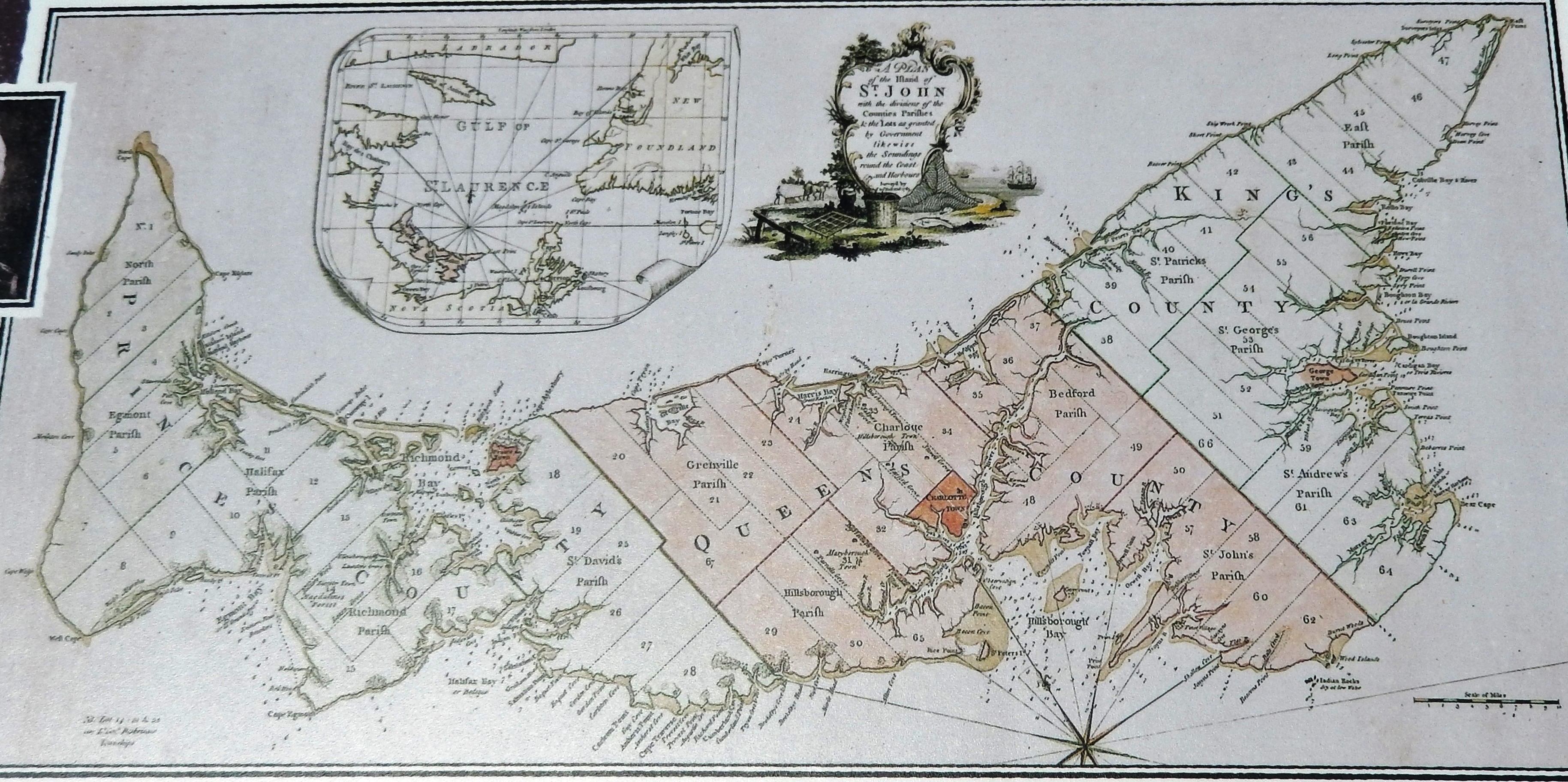
Marker detail: Holland’s Survey / Plan d’arpentage de Holland | Additional Description:
Holland’s survey divided the Island into 67 lots.
• • •
Plan d’arpentage de Samuel Holland divisant l’Île en 67 parcelles.Submitted: June 24, 2020, by Cosmos Mariner of Cape Canaveral, Florida.
Database Locator Identification Number: p527439
File Size: 3.458 Megabytes
To see the metadata that may be embedded in this photo, sign in and then return to this page.